Comitas
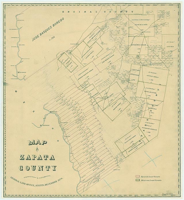
Bustamante is on State Highway 16 twelve miles northeast of Zapata in central Zapata County. It was named for Pedro José Bustamante, to whom the Las Comitas land grant was made in 1802; the site was settled as the ranch headquarters in the 1870s. A post office was established there in 1913. During the 1930s and 1940s peanuts were grown in the area, and in 1942 family members Francisco Bustamante, Martiniano Garza, and Juan Rodrigues bought a peanut-harvesting machine for $300. In 1945 Bustamante had a population of fifty. Before 1960 several springs near the community furnished sweet water to area residents. The springs have since dried up, and the site is overgrown with vegetation. In the 1990s the Comitas and Aguila oilfields were near the community. The Texas Almanac listed the population of Bustamante as twenty-five in 1990; in 1991 a local source reported that the community comprised only a Trans-America Compressor Station, the headquarters for Las Comitas Ranch, and three to six houses. In 2000 the population was fifteen.
Dick D. Heller, Jr. | © TSHA
Adapted from the official Handbook of Texas, a state encyclopedia developed by Texas State Historical Association (TSHA). It is an authoritative source of trusted historical records.
- ✅ Adoption Status:
Belongs to
Comitas is part of or belongs to the following places:
Currently Exists
No
Place type
Comitas is classified as a Town
Associated Names
- (Bustamante)
Location
Latitude: 27.00087180Longitude: -99.11197850
Has Post Office
No
Is Incorporated
No