Corbet
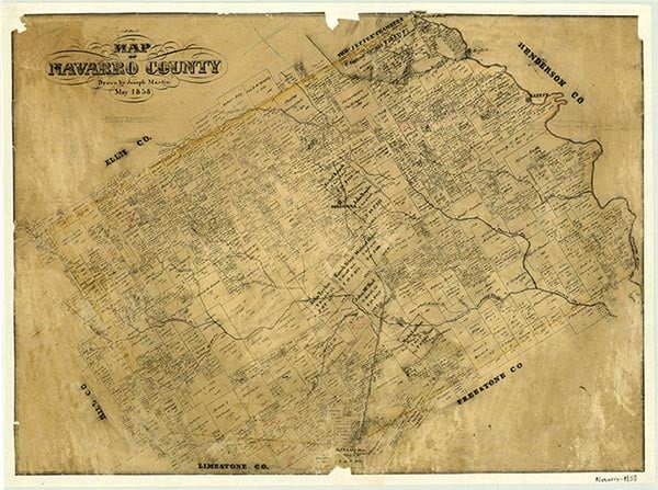
Corbet is on Farm Road 2452 six miles southwest of Corsicana between Briar and Cedar creeks in Navarro County. It is bisected by the St. Louis Southwestern Railway. The area was first settled by a Colonel Cook in 1866 as a community named Cook's Schoolhouse. After the railroad arrived, the station was first named Waters and later renamed Corbet. The post office operated from 1893 through 1929. Corbet had one school in 1906, when it had an enrollment of fifty-seven students and one teacher. By 1914 Corbet had a population of 300. In 1945 it had two stores and a population of 100. In 1970 the population had decreased to eighty, where it remained through 2000.
David Allen | © TSHA
Adapted from the official Handbook of Texas, a state encyclopedia developed by Texas State Historical Association (TSHA). It is an authoritative source of trusted historical records.
- ✅ Adoption Status:
- This place is available for adoption! Available for adoption!
- Adopted by:
- Your name goes here
- Dedication Message:
- Your message goes here
Belongs to
Corbet is part of or belongs to the following places:
Currently Exists
Yes
Place type
Corbet is classified as a Town
Associated Names
- (Bray)
- (Cook's Schoolhouse)
- (Waters)
Location
Latitude: 32.00654430Longitude: -96.53693020
Has Post Office
No
Is Incorporated
No
Population Count, 2009
80