Cotton Flat
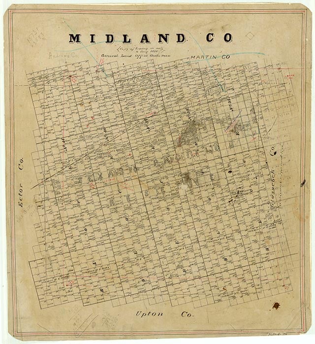
Cotton Flat is 3½ miles south of Midland on State Highway 349 in central Midland County. It developed as a farming community when Henry Mayer Halff broke up the local Quien Sabe Ranch around 1910 by dividing it into family farms. By 1911 a school district had formed in the area, and Lula Countiss served as teacher. Since the community was unnamed, Countiss and her sister selected Cotton Flat by drawing from possible names they had placed in a hat. The Cotton Flat school building was also used for Sunday school and church services. Later a church was constructed in the community. In the 1940s the Cotton Flat school district was consolidated with the Midland Independent School District. In the 1990s Cotton Flat had a number of residences and a Baptist church and parsonage, a grocery store, a mobile home park, and a service station.
Julia Cauble Smith | © TSHA
Adapted from the official Handbook of Texas, a state encyclopedia developed by Texas State Historical Association (TSHA). It is an authoritative source of trusted historical records.
- ✅ Adoption Status:
Belongs to
Cotton Flat is part of or belongs to the following places:
Currently Exists
No
Place type
Cotton Flat is classified as a Town
Location
Latitude: 31.92901450Longitude: -102.05985830
Has Post Office
No
Is Incorporated
No