County Line
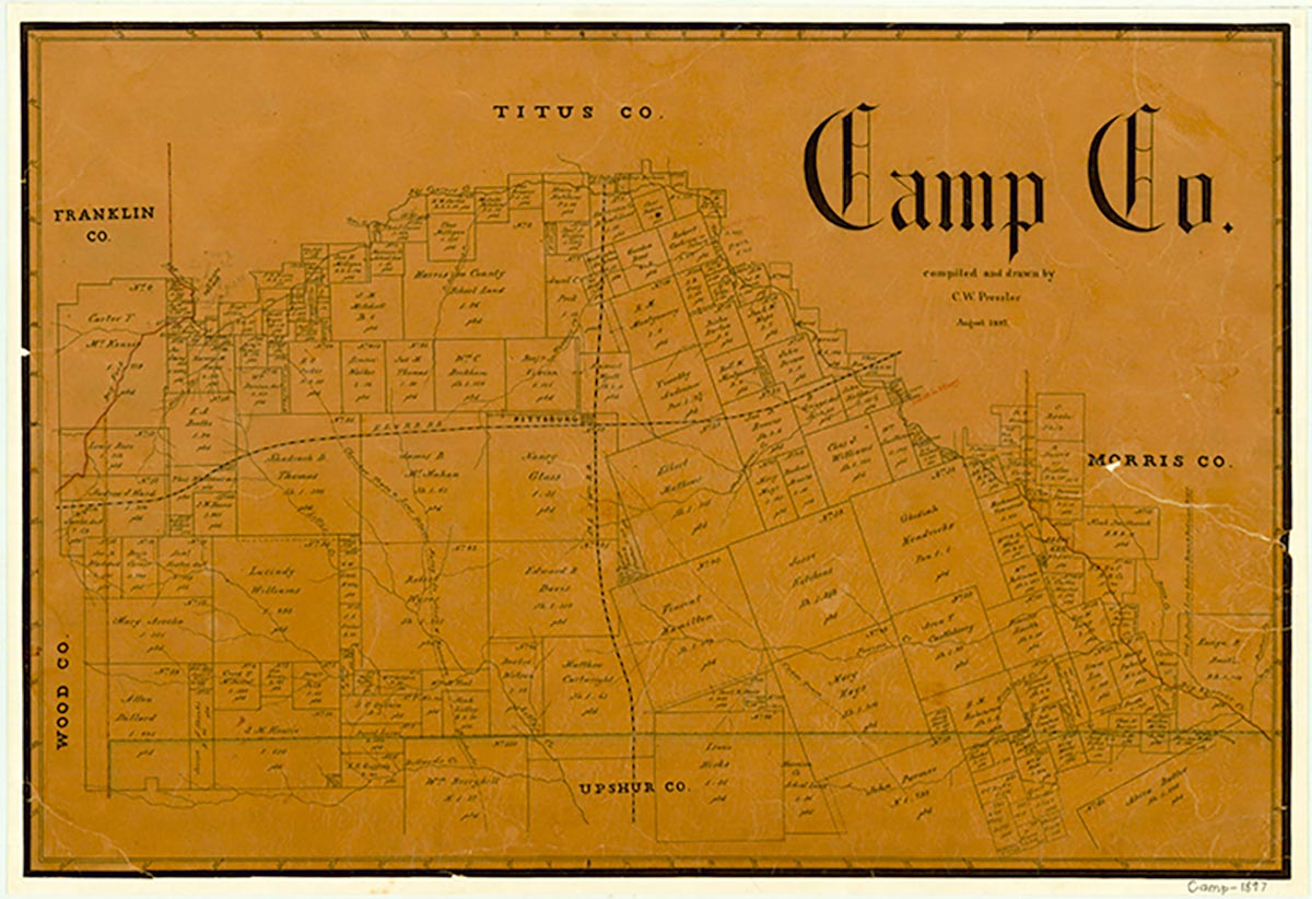
County Line is on Farm Road 557 some thirteen miles from Pittsburg in far southeastern Camp County. It was named for its proximity to the Upshur and Morris county lines. The settlement was in existence by 1884. Originally the area was heavily wooded, and the settlers made their livelihood by converting the forests into shingles that were marketed in Greenville. As the timber was used up, the land was converted to farms, until County Line was almost entirely an agricultural community. It had a church, a cemetery, and a gristmill by 1888. Later a larger building was constructed there to serve as a church, school, and Woodman hall. In 1935 the school offered only the first seven grades of classes and had an enrollment of twenty-four. During the 1930s the population of the area began to decline, and by 1955 the local school had been consolidated with the Pittsburg Independent School District. Lake O' the Pines was constructed in the late 1950s, and its waters reach to within a mile of County Line. In 1960, though the church and cemetery were still in use, many of the houses in the area had been abandoned. In 1983 the community had two stores, a church, the cemetery, and several houses. By 2000 county highway maps did not show County Line. Only a cemetery was shown in the area.
Cecil Harper, Jr. | © TSHA
Adapted from the official Handbook of Texas, a state encyclopedia developed by Texas State Historical Association (TSHA). It is an authoritative source of trusted historical records.
- ✅ Adoption Status:
- This place is available for adoption! Available for adoption!
- Adopted by:
- Your name goes here
- Dedication Message:
- Your message goes here
Belongs to
County Line is part of or belongs to the following places:
Currently Exists
No
Place type
County Line is classified as a Town
Location
Latitude: 32.90651950Longitude: -94.76298630
Has Post Office
No
Is Incorporated
No