Cow Bayou

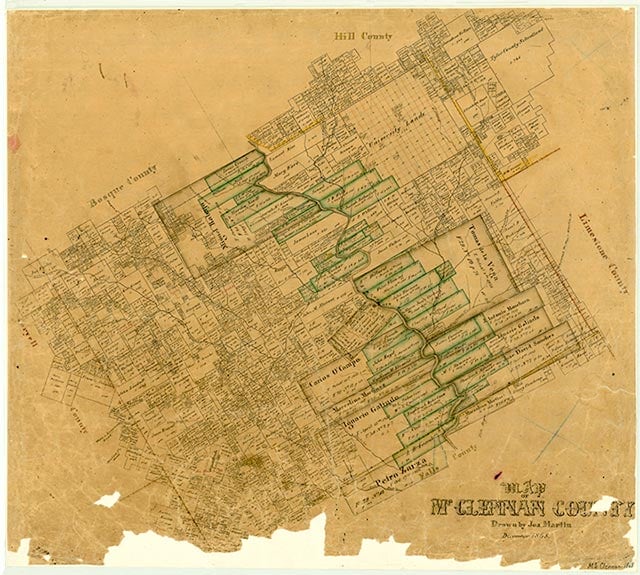
Cow Bayou rises in two forks in southern McLennan County. North Cow Bayou rises about six miles southeast of McGregor (at 31°22' N, 97°21' W) and runs southeast for eighteen miles to join South Cow Bayou, which begins four miles north of Moody (at 31°21' N, 97°22' W) and runs southeast for eighteen miles. Cow Bayou proper begins at the confluence of these two branches, two miles northwest of Mooreville in northwestern Falls County (at 31°19' N, 97°08' W) and runs east for ten miles to its mouth on the Brazos River, four miles northeast of Chilton in Falls County (at 31°19' N, 97°00' W). Cow Bayou traverses flat to rolling prairie with locally steep slopes, surfaced by dark, expansive clays and clay loams. Local vegetation consists primarily of oak, juniper, mesquite, cacti, and grasses. The creek was supposedly named for wild cattle that used to graze on its banks.
| © TSHA

Adapted from the official Handbook of Texas, a state encyclopedia developed by Texas State Historical Association (TSHA). It is an authoritative source of trusted historical records.

- ✅ Adoption Status:
Belongs to
Cow Bayou is part of or belongs to the following places:
Currently Exists
No
Place type
Cow Bayou is classified as a Town
Associated Names
- (Bruceville)
Has Post Office
No
Is Incorporated
No
