Crossroads
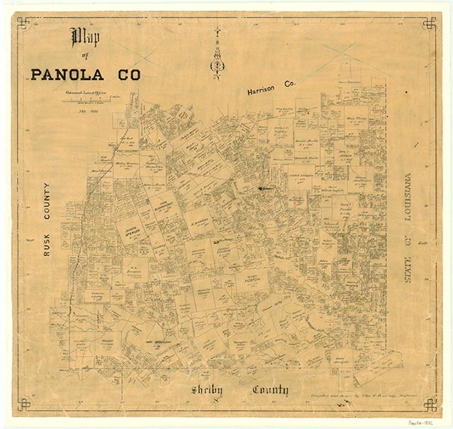
Crossroads, near the site that became Horton, twelve miles northeast of Carthage in northeastern Panola County, was established after the Civil War. A school was operating there by 1897, when it had an enrollment of forty-six. In the mid-1930s the settlement had a church, a school, and a number of houses. Its school was later consolidated with the DeBerry school, and by the mid-1960s only a cemetery and a few scattered houses remained in the area.
Christopher Long | © TSHA
Adapted from the official Handbook of Texas, a state encyclopedia developed by Texas State Historical Association (TSHA). It is an authoritative source of trusted historical records.
- ✅ Adoption Status:
Belongs to
Crossroads is part of or belongs to the following places:
Currently Exists
No
Place type
Crossroads is classified as a Town
Associated Names
- (Horton)
Location
Latitude: 32.31849060Longitude: -94.27269420
Has Post Office
No
Is Incorporated
No