Dakin
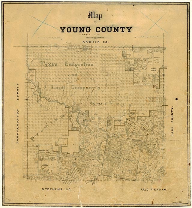
Dakin, a dispersed farming community in eastern Young County, was a station on the Chicago, Rock Island and Gulf Railway. The 1936 county highway map indicated Dakin had three houses on State Highway 24 (later U.S. Highway 380) and a cemetery, three additional houses, and a school three miles south on an unimproved road. By the early 1980s only a cemetery named Center Ridge remained at the site.
Continue Reading
John G. Johnson | © TSHA
Adapted from the official Handbook of Texas, a state encyclopedia developed by Texas State Historical Association (TSHA). It is an authoritative source of trusted historical records.
- ✅ Adoption Status:
Belongs to
Dakin is part of or belongs to the following places:
Currently Exists
No
Place type
Dakin is classified as a Town
Location
Latitude: 33.12122680Longitude: -98.49283240
Has Post Office
No
Is Incorporated
No