Dauphin
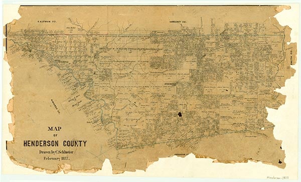
Dauphin was a flag stop on the St. Louis Southwestern Railway 5½ miles southwest of Athens in central Henderson County. A post office operated there from 1895 to 1904. After the railroad suspended service, most of the residents moved away, but as late as the mid-1930s a store and a church were in the area. In the early 1990s only a few scattered houses remained in the vicinity.
Continue Reading
Christopher Long | © TSHA
Adapted from the official Handbook of Texas, a state encyclopedia developed by Texas State Historical Association (TSHA). It is an authoritative source of trusted historical records.
- ✅ Adoption Status:
Belongs to
Dauphin is part of or belongs to the following places:
Currently Exists
No
Place type
Dauphin is classified as a Town
Associated Names
- (Frances)
Location
Latitude: 32.18709620Longitude: -95.91663270
Has Post Office
No
Is Incorporated
No