Davenport
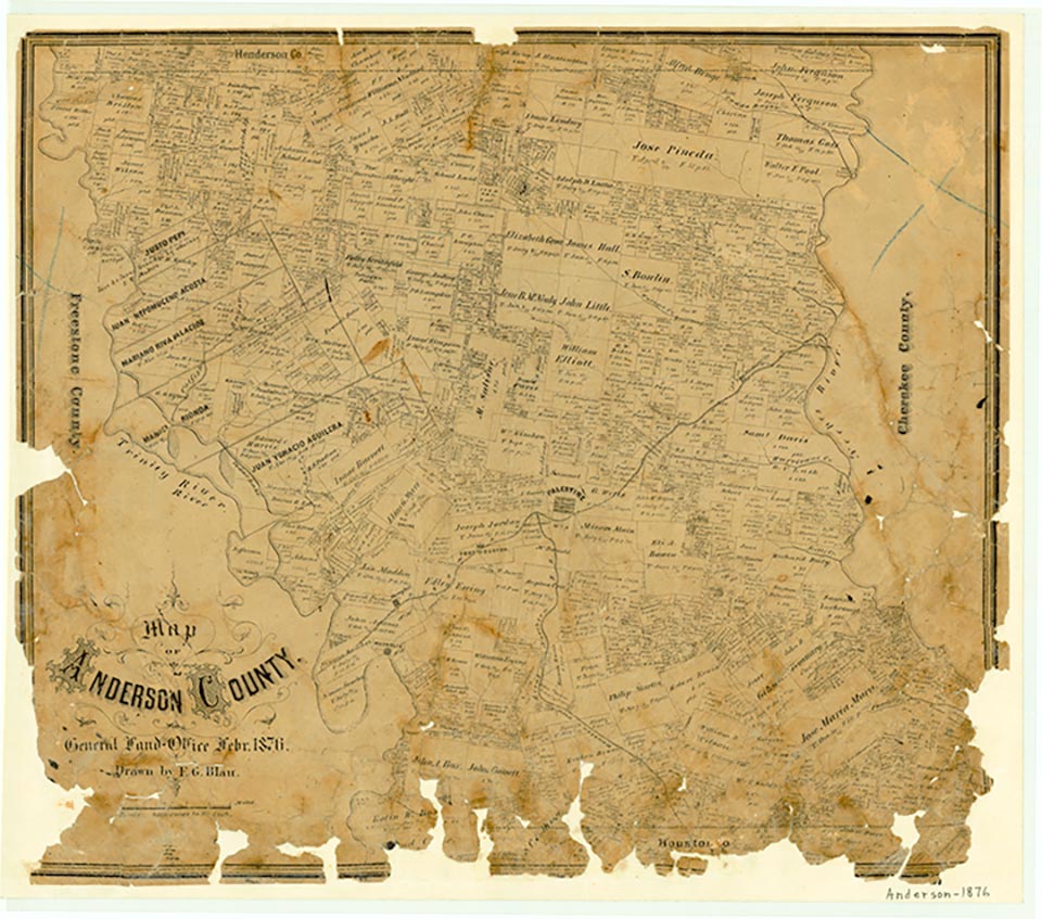
Davenport was just south of Farm Road 1137 and six miles east of Palestine in eastern Anderson County. In the 1930s the community had a church and the black school for the Swanson Spring school district. Its school served some sixty-six pupils in 1932, but by 1955 had been consolidated with the Palestine schools. In 1982 only a single dwelling was at the site, and in 1985 Davenport was no longer named on county highway maps.
Continue Reading
Mark Odintz | © TSHA
Adapted from the official Handbook of Texas, a state encyclopedia developed by Texas State Historical Association (TSHA). It is an authoritative source of trusted historical records.
- ✅ Adoption Status:
Belongs to
Davenport is part of or belongs to the following places:
Currently Exists
No
Place type
Davenport is classified as a Town
Location
Latitude: 31.76822700Longitude: -95.53912040
Has Post Office
No
Is Incorporated
No