Diamond
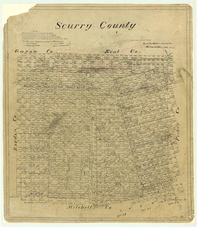
Diamond was not a town, but rather a group of oilfield buildings and houses located near a Diamond M refinery in southwest Scurry County. The refinery, originally owned by the Lyon Oil Company, in the mid-1970s was operating within the Diamond M oilfield, named for the nearby Diamond M Ranch. Although the oil area remains, no Diamond community appeared on 1980 county maps.
Charles G. Davis | © TSHA

Adapted from the official Handbook of Texas, a state encyclopedia developed by Texas State Historical Association (TSHA). It is an authoritative source of trusted historical records.

- ✅ Adoption Status:
Belongs to
Diamond is part of or belongs to the following places:
Currently Exists
No
Place type
Diamond is classified as a Town
Location
Latitude: 32.68288660Longitude: -101.09067790
Has Post Office
No
Is Incorporated
No

