Dimmit County

Dimmit County, Texas

Dimmit County, Texas
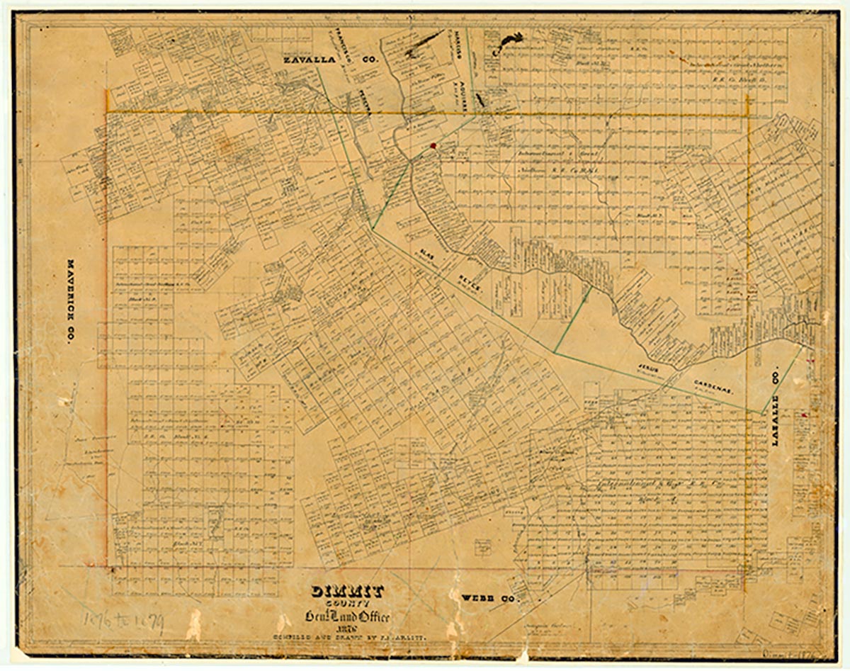
Dimmit County, in southern Texas, is bordered by Zavala, La Salle, Webb, and Maverick counties. Carrizo Springs, the county's largest town and the county seat, is located in the northwestern part of the county at the intersection of U.S. Highways 83 and 277. The center point of the county is 28°25' north latitude and 99°46' west longitude. Dimmit County was named for Philip Dimmitt, one of the framers of the Goliad Declaration of Independence; his name was misspelled when the county was formed. The county comprises 1,307 square miles of generally flat to rolling terrain vegetated with mesquite and small trees, scrub brush, cacti, and grasses. The elevation of the county ranges from approximately 500 to 800 feet. Soils in the nearly level areas are loamy and sometimes poorly drained, while soils in the rolling south central part of the county are loamy to clayey. Most of Dimmit County is drained by the Nueces River, which flows across the northeastern quarter. In 1982 almost 90 percent of the county's land was devoted to ranching and farming. Two percent of the land was cultivated, largely with irrigation. Dimmit County is known as part of the Winter Garden Region for the vegetables grown there. Mineral resources include caliche, industrial sand, sand and gravel, oil, gas, and lignite coal. Oil and gas production is significant. Temperatures in Dimmit County range from an average high of 99° F in July to an average low of 40° in January, with average annual temperature of 72°. Rainfall averages twenty-two inches a year, and the growing season lasts for 290 days.
Indian artifacts dating from the Paleo-Indian period (9200 to 6000 B.C.) demonstrate that man has lived in the area of Dimmit County for about 11,000 years. The local Indian population seems to have increased during the Archaic period (6000 B.C. to A.D. 1000), when many groups of hunter-gatherers spent part or all of their time in the area. During this period the county's inhabitants subsisted mostly on game, wild fruits, seeds, and roots. They carved tools from wood and stone, wove baskets, and sewed rabbitskin robes. Their most effective weapon was the atlatl, a throwing stick that greatly increased the deadliness of their spears. The hunting and gathering life persisted into the Late Prehistoric period (A.D. 1000 to the arrival of the Spanish), though during this time the Indians in the area learned to make pottery and to hunt with bows and arrows. During the seventeenth and eighteenth centuries, the Coahuiltecan Indians native to Dimmit County were squeezed out by other Indian who were migrating into the area and by the Spanish, who were moving up from the south. Many of the Coahuiltecans were taken to San Juan Bautista in Coahuila. Apaches and Comanches moved in to take their place.
John Leffler | © TSHA
Adapted from the official Handbook of Texas, a state encyclopedia developed by Texas State Historical Association (TSHA). It is an authoritative source of trusted historical records.
- ✅ Adoption Status:
- This place is available for adoption! Available for adoption!
- Adopted by:
- Your name goes here
- Dedication Message:
- Your message goes here
Currently Exists
Yes
Place type
Dimmit County is classified as a County
Altitude Range
410 ft – 871 ft
Size
Land area does not include water surface area, whereas total area does
- Land Area: 1,328.9 mi²
- Total Area: 1,334.5 mi²
Temperature
January mean minimum:
40.5°F
July mean maximum:
97.8°F
Rainfall, 2019
19.8 inches
Population Count, 2019
10,124
Civilian Labor Count, 2019
7,037
Unemployment, 2019
7.1%
Property Values, 2019
$6,706,507,383 USD
Per-Capita Income, 2019
$36,639 USD
Retail Sales, 2019
$158,125,159 USD
Wages, 2019
$93,092,911 USD
County Map of Texas
Dimmit County
- Dimmit County
Places of Dimmit County
| Place | Type | Population (Year/Source) | Currently Exists |
|---|---|---|---|
| Town | 718 (2021) | Yes | |
| Town | – | – | |
| Town | – | – | |
| Town | 487 (2021) | Yes | |
| Town | 0 (2021) | Yes | |
| Town | – | – | |
| Town | – | – | |
| Town | 1,076 (2021) | Yes | |
| Town | 4,833 (2021) | Yes | |
| Town | 84 (2021) | Yes | |
| Town | – | – | |
| Town | – | – | |
| Town | – | – | |
| Town | – | – | |
| Town | – | – | |
| Town | – | – | |
| Town | – | – | |
| Town | – | – | |
| Town | – | – | |
| Town | – | – | |
| Town | – | – | |
| Town | – | – | |
| Town | – | – | |
| Town | – | – | |
| Town | 21 (2009) | Yes | |
| Town | 123 (2009) | Yes |
Proud to call Texas home?
Put your name on the town, county, or lake of your choice.
Search Places »