Dixie
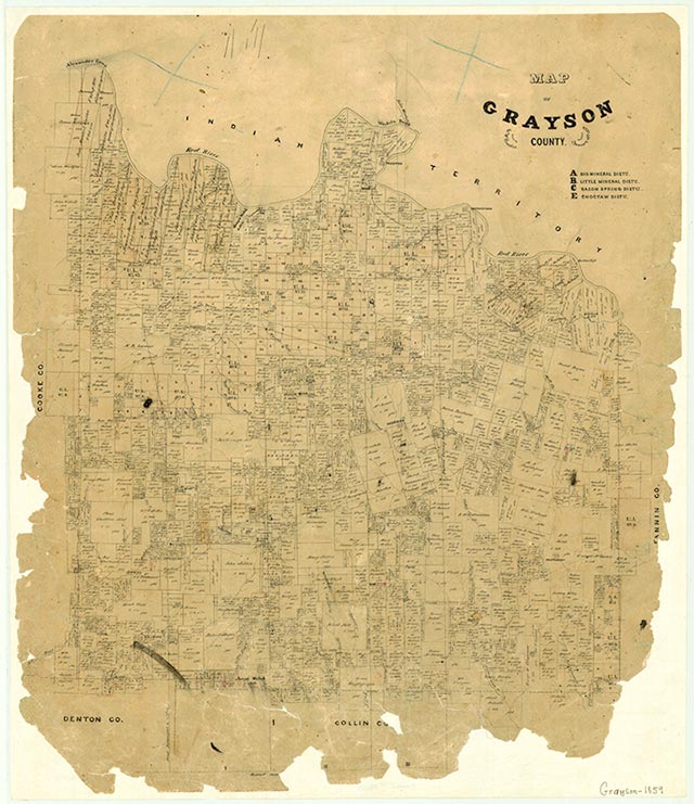
Dixie is on U.S. Highway 377 sixteen miles northwest of Sherman in west central Grayson County. The community developed shortly after the Civil War, when a group of Confederate veterans settled at the site and called it Theodore. It soon became a community center for area farmers. By 1886 the name had been changed to Dixie, and the community had acquired a post office, which it retained until 1902. In 1908 the settlement had three churches, a store, a gin, and a school. The school was consolidated with the Whitesboro district in the 1940s. A blacksmith shop continued in operation until about 1965. In the late 1970s the Missionary Baptist and Primitive Baptist churches were still active in Dixie, which reported a population of fifty in 1933 and twenty-five from 1936 through 1990. In 2000 the population was seventeen.
David Minor | © TSHA
Adapted from the official Handbook of Texas, a state encyclopedia developed by Texas State Historical Association (TSHA). It is an authoritative source of trusted historical records.
- ✅ Adoption Status:
- This place is available for adoption! Available for adoption!
- Adopted by:
- Your name goes here
- Dedication Message:
- Your message goes here
Belongs to
Dixie is part of or belongs to the following places:
Currently Exists
Yes
Place type
Dixie is classified as a Town
Associated Names
- (Theodore)
Location
Latitude: 33.71677250Longitude: -96.90472620
Has Post Office
No
Is Incorporated
No
Population Count, 2014
17