Drop
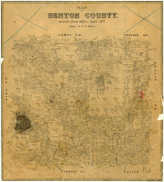
Drop is on Farm Road 1384 four miles northwest of Justin in southwest Denton County. Legend has it that the rural community, originally part of the Denton Creek settlement established in 1854, petitioned postal authorities for a post office to be named Dewdrop. When the federal agency announced that Texas already had a town with that name, the residents simply decided to remove the first three letters and adopt the name of Drop. The Drop post office opened in 1886. Located in a wheat-producing area of Denton County, Drop acted as a supply point for area farmers. The railroad tracks, built near Justin in the late 1880s, attracted people and businesses from the surrounding rural communities. The post office at Drop was closed by 1910. In 1936 the population was estimated at thirty-eight. It was reported at fewer than thirty in 1963.
David Minor | © TSHA
Adapted from the official Handbook of Texas, a state encyclopedia developed by Texas State Historical Association (TSHA). It is an authoritative source of trusted historical records.
- ✅ Adoption Status:
Belongs to
Drop is part of or belongs to the following places:
Currently Exists
Yes
Place type
Drop is classified as a Town
Associated Names
- (Oliver)
Location
Latitude: 33.13095410Longitude: -97.35585300
Has Post Office
No
Is Incorporated
No
Population Count, 2009
90