Dyer
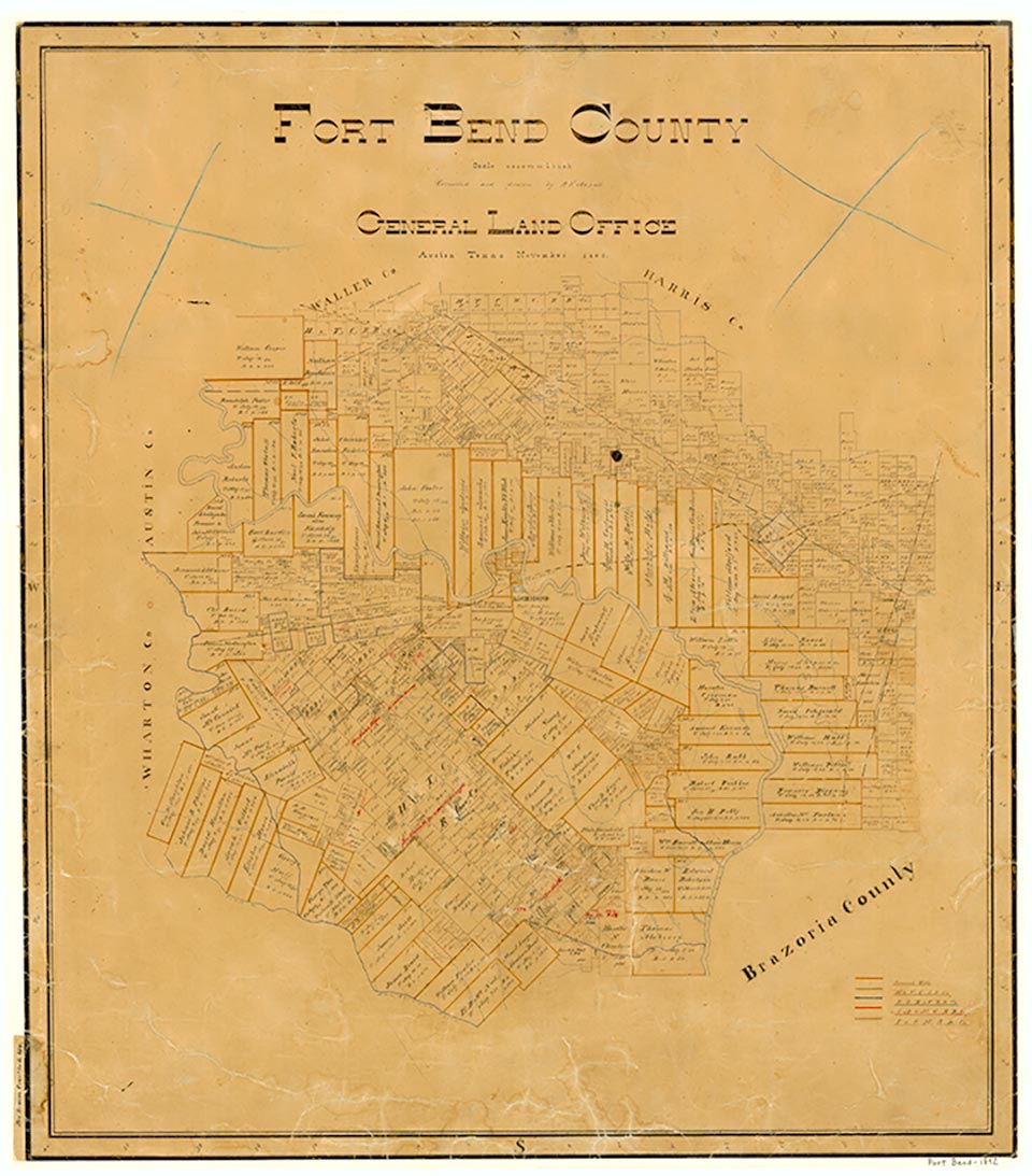
Beasley is on the Southern Pacific Railroad and U.S. Highway 59 eleven miles southwest of Richmond in southwestern Fort Bend County. It was laid out on the Galveston, Harrisburg and San Antonio Railway in the mid-1890s by Cecil A. Beasley, a Richmond banker, who called the town Dyer in honor of Miss Isabel Dyer, who later became Mrs. Beasley. When it was found that another community was called Dyer, the town was named Beasley instead; it was granted a post office in 1898. In 1910 the Stern and Stern Land Company of Kansas City began to promote the community and the surrounding prairielands, and Beasley became a supply and shipping point for settlers. By 1914 the town had a population of 325, Baptist and Lutheran churches, a bank, a hotel, a lumber company, two cotton gins, three general stores, and telephone service. By the 1920s the community also had a filling station and a movie house. In 1930 the Beasley schools served 252 White pupils and thirty-two Black pupils. The schools were merged with Lamar in 1948. The population remained static at 350 until the 1940s, when Beasley had seven churches. The town's population fell to 300 in 1949 and 175 in 1960 but began to revive in the 1960s to reach 275 in 1968, 447 in 1980, 485 in 1990, and 590 in 2000. The community incorporated in 1970.
Mark Odintz | © TSHA
Adapted from the official Handbook of Texas, a state encyclopedia developed by Texas State Historical Association (TSHA). It is an authoritative source of trusted historical records.
- ✅ Adoption Status:
- This place is available for adoption! Available for adoption!
- Adopted by:
- Your name goes here
- Dedication Message:
- Your message goes here
Belongs to
Dyer is part of or belongs to the following places:
Currently Exists
No
Place type
Dyer is classified as a Town
Associated Names
- [1]
- (Beasley)
Has Post Office
No
Is Incorporated
No