Dyersdale
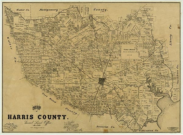
Dyersdale is on Farm Road 527 and the Missouri Pacific line (formerly the Beaumont, Sour Lake and Western Railway) six miles northeast of Houston in northeastern Harris County. It was named for Clement C. Dyer, a colonist in Stephen F. Austin's Old Three Hundred. Dyersdale had a post office from 1913 to 1917. In 1914 the community had a lumber company and a population of 250. The 1936 county highway map showed the William G. Smiley school and scattered dwellings at the townsite. A local oilfield that opened in the mid-1930s was still in production in 1946. In the 1980s the area had a church, a trailer park, and an abandoned railroad station.
Claudia Hazlewood | © TSHA
Adapted from the official Handbook of Texas, a state encyclopedia developed by Texas State Historical Association (TSHA). It is an authoritative source of trusted historical records.
- ✅ Adoption Status:
Belongs to
Dyersdale is part of or belongs to the following places:
Currently Exists
No
Place type
Dyersdale is classified as a Town
Location
Latitude: 29.89161240Longitude: -95.25771180
Has Post Office
No
Is Incorporated
No