East Fork
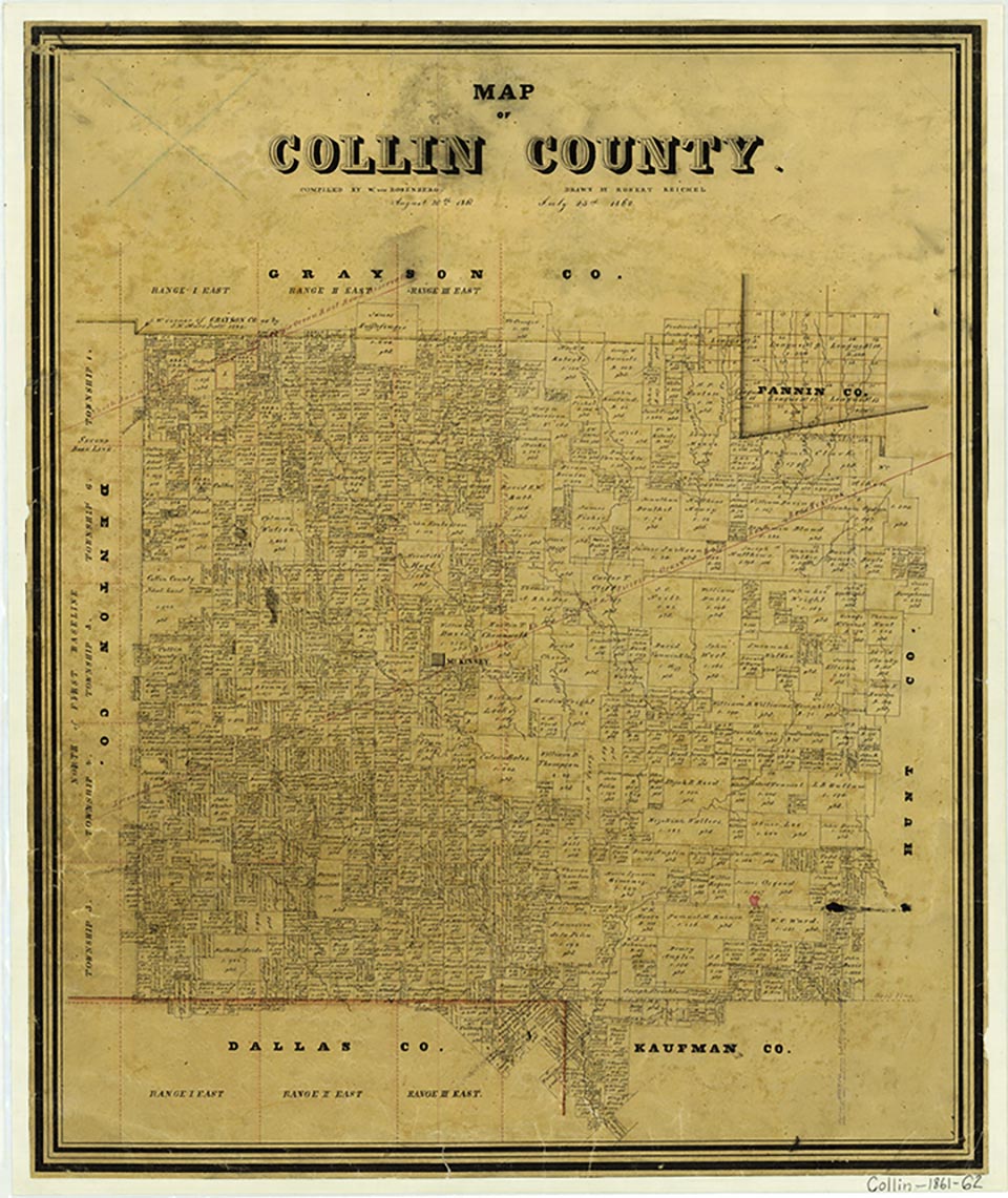
Lowry Crossing is located on Farm Road 546 about six miles southeast of McKinney in central Collin County. This community near the East Fork of the Trinity River was shown on highway maps in the 1960s. The town incorporated about 1971 and reported a population of 443 in 1980. In 1984 a volunteer fire department was established. With the city's proximity to the urban areas of McKinney, Plano, and the Dallas metroplex, Lowry Crossing continued to grow, and its population increased from 865 in 1990 to 1,229 in 2000. Lowry Crossing has a mayor and city council.
Laurie E. Jasinski | © TSHA
Adapted from the official Handbook of Texas, a state encyclopedia developed by Texas State Historical Association (TSHA). It is an authoritative source of trusted historical records.
- ✅ Adoption Status:
Belongs to
East Fork is part of or belongs to the following places:
Currently Exists
No
Place type
East Fork is classified as a Town
Associated Names
- (Lowry Crossing)
Location
Latitude: 33.15872810Longitude: -96.56415650
Has Post Office
No
Is Incorporated
No