Eastgate
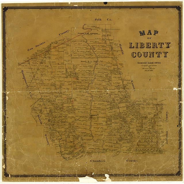
Eastgate is near the junction of Farm roads 1960 and 686, thirty-three miles northeast of Houston in western Liberty County. According to local tradition, the community was named for its location at the east gate of the fence crossing the Beaumont, Sour Lake and Western Railway. The town plat was drawn up by J. C. Perry in 1911, but it was not filed until two years later. The post office operated from 1912 to 1925. During the mid-1950s Eastgate had a peak estimated population of sixty and three businesses. Churches and scattered buildings remained dispersed in the area, and Eastgate was still listed as a community in 1990.
Robert Wooster | © TSHA
Adapted from the official Handbook of Texas, a state encyclopedia developed by Texas State Historical Association (TSHA). It is an authoritative source of trusted historical records.
- ✅ Adoption Status:
Belongs to
Eastgate is part of or belongs to the following places:
Currently Exists
Yes
Place type
Eastgate is classified as a Town
Location
Latitude: 30.05549460Longitude: -95.01187230
Has Post Office
No
Is Incorporated
No
Population Count, 2009
200