Egan
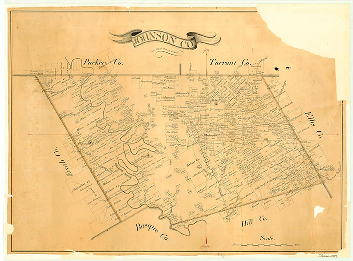
Egan is at the intersection of Farm roads 2280 and 917, eight miles northeast of Cleburne in north central Johnson County. The area was settled by M. J., J. P., and W. E. Miller during the Civil War. A townsite was surveyed in 1883, when the Missouri, Kansas and Texas Railroad extended its tracks through the area. A surveyor gave Egan its name. A post office began service there in 1883, and within two years the settlement had a population of fifty, a store, a school, and two churches. A winery operated in Egan during the early twentieth century, but was closed down during prohibition. The community had a population of 115 by the mid-1920s. Egan's post office closed sometime after 1930, and the population fell to fifty by the late 1940s. This estimate was reported consistently through the mid-1960s. In 1990 and again in 2000 the population was twenty-one.
Brian Hart | © TSHA
Adapted from the official Handbook of Texas, a state encyclopedia developed by Texas State Historical Association (TSHA). It is an authoritative source of trusted historical records.
- ✅ Adoption Status:
Belongs to
Egan is part of or belongs to the following places:
Currently Exists
Yes
Place type
Egan is classified as a Town
Associated Names
- [Eagan]
Location
Latitude: 32.45291850Longitude: -97.29973700
Has Post Office
No
Is Incorporated
No
Population Count, 2009
133