Eight Mile Creek
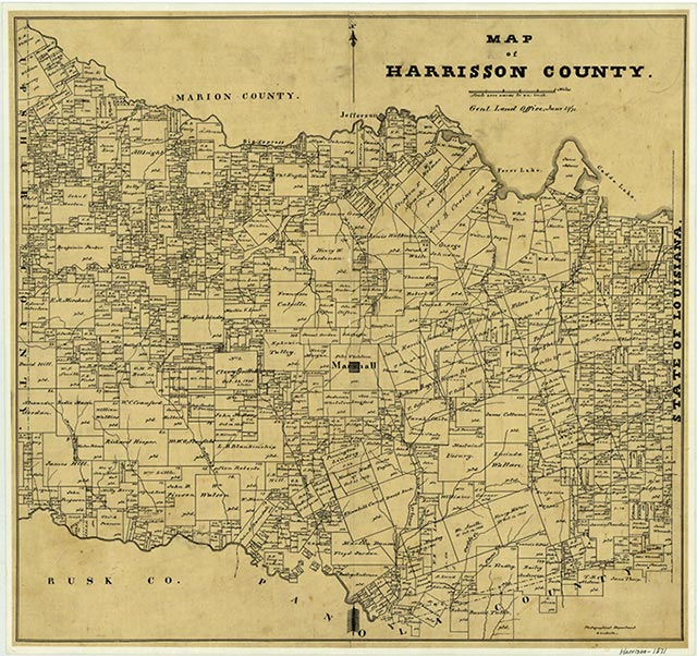
Eight Mile Creek rises just west of Scottsville in east central Harrison County (at 32°33' N, 94°15' W) and runs southwest for nineteen miles to its mouth on the Sabine River, just north of the Panola county line (at 32°20' N, 94°21' W). It passes through an area of nearly level to hilly terrain surfaced by loamy and clayey soils that support dense patches of pine and hardwood trees along its banks. The land is used predominantly for agriculture.
| © TSHA
Adapted from the official Handbook of Texas, a state encyclopedia developed by Texas State Historical Association (TSHA). It is an authoritative source of trusted historical records.
- ✅ Adoption Status:
Belongs to
Eight Mile Creek is part of or belongs to the following places:
Currently Exists
No
Place type
Eight Mile Creek is classified as a Town
Has Post Office
No
Is Incorporated
No