El Frieda
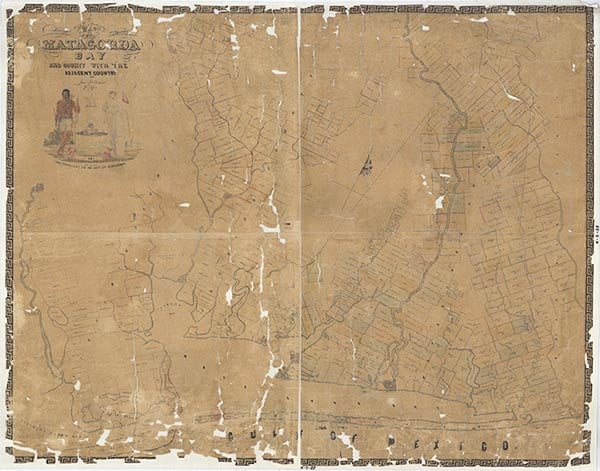
El Frieda was on the St. Louis, Brownsville and Mexico Railway near East Carancahua Creek four miles west of Blessing in northwestern Matagorda County. A townsite was platted for John W. Gaines in 1909, and though there is no record of any substantial construction at the site, a July 1917 Matagorda County Tribune reported El Frieda's population as ranging somewhere between fifty and 100. El Frieda is not named on the 1936 county highway map, but the map shows scattered farms in the area, concentrated along a network of graded and drained roads. The community does not appear on the 1989 county highway map.
Rachel Jenkins | © TSHA
Adapted from the official Handbook of Texas, a state encyclopedia developed by Texas State Historical Association (TSHA). It is an authoritative source of trusted historical records.
- ✅ Adoption Status:
Belongs to
El Frieda is part of or belongs to the following places:
Currently Exists
No
Place type
El Frieda is classified as a Town
Location
Latitude: 28.86466300Longitude: -96.29024100
Has Post Office
No
Is Incorporated
No