El Paso County

El Paso County, Texas

El Paso County, Texas
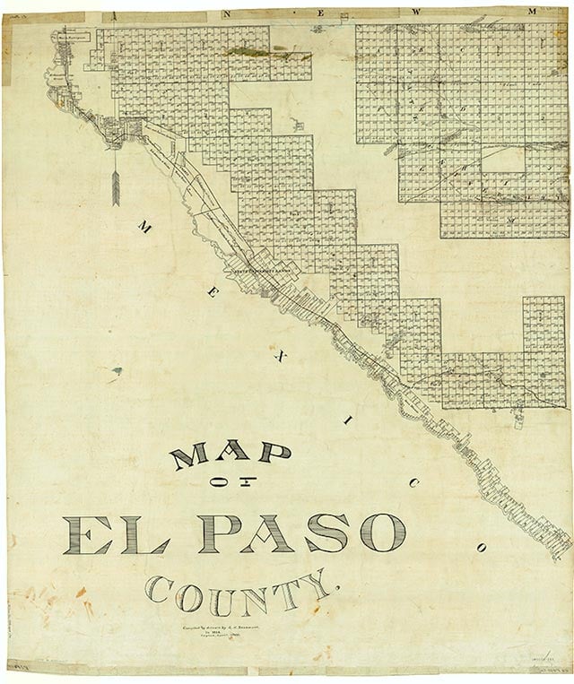
Map Credit: Robert Plocheck.
El Paso County is the westernmost county of Texas. Its center point is 106°10' west longitude and 31°40' north latitude. Bounded on the southwest by the Rio Grande and Mexico, on the north and west by the state of New Mexico, and on the east by Hudspeth County, Texas, El Paso County is approximately 650 miles west of Dallas and 575 miles northwest of San Antonio. El Paso County and neighboring Hudspeth County are the only Texas counties on Mountain Time. The county comprises 1,057 square miles of desert and irrigated land that rises from an elevation of 3,500 feet at the Rio Grande to 7,000 feet at the summits of the Franklin Mountains. The Rio Grande valley in this area has been irrigated since prehistoric times and produces bountiful harvests of cotton, pecans, and alfalfa, and lesser amounts of numerous vegetables and fruits. Agriculture depends entirely upon irrigation from the river; the average annual rainfall is only 7.77 inches. Desert flora and fauna abound away from the river, while fertile fields and gardens flourish under irrigation. Although summer temperatures usually rise above 100° F for brief periods and have reached a peak of 112, El Paso is not one of the nation's hot spots. A pleasant altitude and low humidity make most summer days agreeable. The average maximum temperature in July is 94° F. The average growing season lasts 248 days. Winters are pleasant, with occasional light snows, although such extremes as fourteen inches of snow and 8° below zero are on record. Some 240 square miles of the county is occupied by the city of El Paso (population, 669,882), the largest United States city on the Mexican border, the fourth largest in Texas, and nineteenth in the United States. Although a major industrial area, El Paso County has few natural resources other than abundant sunshine and bounteous agriculture. There is no oil production, although there are two oil refineries. There is little if any mineral production, although the county has long been a trade center for Southwest mining and contains a major smelter and a major copper refinery. The county is the only county in the United States to have mined, milled, and smelted tin. The source, deposits of cassiterite in the Franklin Mountains, was found insufficient for profitable operation.
The Spanish name El Paso del Norte denotes a historically important geographical point, the channel cut by the Rio Grande through the mountains to form a natural passageway for travelers to the north or south, east or west. The name El Paso appears in print as early as 1610, in the narrative of Gaspar Pérez de Villagrá, poet-historian of the Oñate expedition of 1598. This large colonizing expedition claimed for the king of Spain all the vast territory of the upper Rio Grande. The way up the river had already been charted by the Rodríguez-Sánchez expedition by 1582. The Oñate expedition, however, had sought a shortcut through the Chihuahuan Desert. Pérez de Villagrá wrote that without water, and almost without hope, the expedition continued on, seeking "el paso por las montañas." At the pass in 1598, on the banks of the river, Oñate and his followers staged a three-day celebration. One of his captains wrote and produced a drama for the occasion, perhaps the first drama presented on what is now American soil. Fish, ducks, and geese from the river supplied food for a great feast, to which Indians living in the area were invited guests, and gratitude was formally rendered to God for the safe arrival of the expedition. Should this be considered the first American Thanksgiving? The pass continued to serve as a way station for travelers between Spanish Mexico and its far-flung dominions to the north. In 1680 an Indian uprising drove the Spaniards out of New Mexico. Many of them found refuge in the El Paso valley, bringing with them members of two Indian tribes, the Tiguas and the Piros. For these were founded the missions of Corpus Christi de la Isleta in Ysleta and Nuestra Señora del Socorro in Socorro.
Conrey Bryson | © TSHA
Adapted from the official Handbook of Texas, a state encyclopedia developed by Texas State Historical Association (TSHA). It is an authoritative source of trusted historical records.
- ✅ Adoption Status:
- This place is available for adoption! Available for adoption!
- Adopted by:
- Your name goes here
- Dedication Message:
- Your message goes here
Currently Exists
Yes
Place type
El Paso County is classified as a County
Altitude Range
3520 ft – 7192 ft
Size
Land area does not include water surface area, whereas total area does
- Land Area: 1,012.7 mi²
- Total Area: 1,015.0 mi²
Temperature
January mean minimum:
32.5°F
July mean maximum:
94.7°F
Rainfall, 2019
9.7 inches
Population Count, 2019
839,238
Civilian Labor Count, 2019
354,048
Unemployment, 2019
9.9%
Property Values, 2019
$47,185,500,611 USD
Per-Capita Income, 2019
$35,856 USD
Retail Sales, 2019
$10,974,048,282 USD
Wages, 2019
$3,286,704,022 USD
County Map of Texas
El Paso County
- El Paso County
Places of El Paso County
| Place | Type | Population (Year/Source) | Currently Exists |
|---|---|---|---|
| Town | – | – | |
| Town | 2,633 (2021) | Yes | |
| Town | 19 (2009) | Yes | |
| Town | – | – | |
| Town | – | – | |
| Town | 3,665 (2021) | Yes | |
| Town | – | – | |
| Town | – | – | |
| Town | – | – | |
| Town | – | – | |
| Town | – | – | |
| Town | – | – | |
| Town | – | – | |
| Town | – | – | |
| Town | – | – | |
| Town | 110 (2021) | Yes | |
| Town | – | – | |
| Town | 6,393 (2021) | Yes | |
| Town | – | – | |
| Town | – | – | |
| Town | 930 (2021) | Yes | |
| Town | – | – | |
| Town | – | – | |
| Town | – | – | |
| Town | – | – | |
| Town | 67 (2009) | Yes | |
| Town | – | – | |
| Town | – | – | |
| Town | 678,415 (2021) | Yes | |
| Town | 5,460 (2021) | Yes | |
| Town | – | – | |
| Town | 14,226 (2021) | Yes | |
| Town | – | – | |
| Town | – | – | |
| Town | – | – | |
| Town | 6,521 (2021) | Yes | |
| Town | 7,981 (2021) | Yes | |
| Town | 23,162 (2021) | Yes | |
| Town | – | – | |
| Town | 27 (2009) | Yes | |
| Town | – | – | |
| Town | – | – | |
| Town | – | – | |
| Town | – | – | |
| Town | – | – | |
| Town | – | – | |
| Town | 494 (2021) | Yes | |
| Town | – | – | |
| Town | – | – | |
| Town | – | – | |
| Town | – | – | |
| Town | – | – | |
| Town | – | – | |
| Town | 438 (2021) | Yes | |
| Town | – | – | |
| Town | – | – | |
| Town | 10,093 (2021) | Yes | |
| Town | – | – | |
| Town | – | – | |
| Town | – | – | |
| Town | – | – | |
| Town | 36,236 (2021) | Yes | |
| Town | – | – | |
| Town | 5,169 (2021) | Yes | |
| Town | – | – | |
| Town | – | – | |
| Town | 1,360 (2021) | Yes | |
| Town | 2,769 (2021) | Yes | |
| Town | 3,726 (2021) | Yes | |
| Town | – | – | |
| Town | 350 (2010) | Yes |
Photos Nearby:

El Paso, Texas
El Paso, Texas Photo by Chris Carzoli on Unsplash

Agua Dulce, Texas
Agua Dulce, El Paso County, Texas. Map by
Proud to call Texas home?
Put your name on the town, county, or lake of your choice.
Search Places »