Elberta

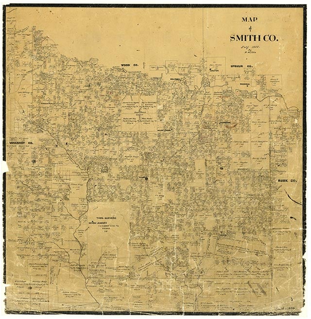
Elberta is just east of State Highway 110 a mile southeast of Tyler in central Smith County. The site was known as Douglas, when it became a station on the International-Great Northern Railroad in 1872. It was renamed Elberta for the Elberta peaches grown in the area. In 1936 Elberta had a church, a cemetery, and a small cluster of farms. Maps for 1973 showed a sizable community with a church, water tanks, and a water-tank substation.
Vista K. McCroskey | © TSHA

Adapted from the official Handbook of Texas, a state encyclopedia developed by Texas State Historical Association (TSHA). It is an authoritative source of trusted historical records.

- ✅ Adoption Status:
Belongs to
Elberta is part of or belongs to the following places:
Currently Exists
No
Place type
Elberta is classified as a Town
Associated Names
- (Douglas 2)
Location
Latitude: 32.29265160Longitude: -95.24661600
Has Post Office
No
Is Incorporated
No
