Elevation

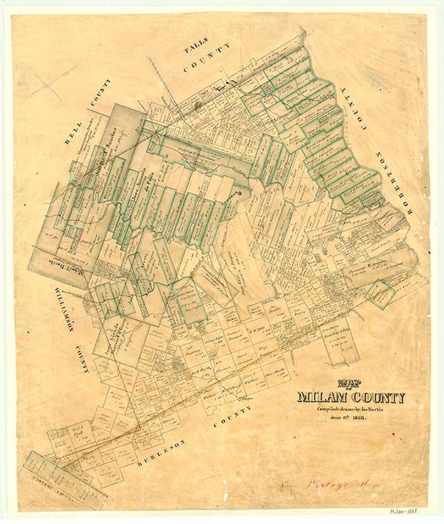
Elevation is near State Highway 36 four miles southeast of Milano in southeastern Milam County. It was built as a switch on the Gulf, Colorado and Santa Fe Railway, which was constructed through the area in 1881. The community is said to be named for the rise on which it is located. It had a population of twelve in 1990 and again in 2000.
Continue Reading
Vivian Elizabeth Smyrl | © TSHA

Adapted from the official Handbook of Texas, a state encyclopedia developed by Texas State Historical Association (TSHA). It is an authoritative source of trusted historical records.

- ✅ Adoption Status:
Belongs to
Elevation is part of or belongs to the following places:
Currently Exists
Yes
Place type
Elevation is classified as a Town
Location
Latitude: 30.65353130Longitude: -96.81886800
Has Post Office
No
Is Incorporated
No
Population Count, 2009
12
