Esperson
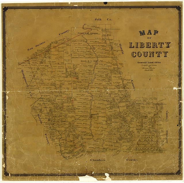
Esperson was on Farm Road 1413 near the Esperson Dome oilfield thirty miles east of Houston in southwestern Liberty County. Rice farmers used the area extensively, and canals and irrigation ditches crisscrossed the countryside. Further growth was stimulated by the construction of the Dayton-Goose Creek Railroad in 1919. Exploration efforts were abandoned by the Union Exploration Company in 1928, but Harvey Smith drilled a producing oil well the following year. The Yount-Lee Oil Company quickly expanded into the Esperson Dome field, and twenty-five wells had been drilled by March 1934. Although no definable community center was noted on highway department or geological survey maps, the Esperson field had by 1984 produced a total of over fifty million barrels of crude oil.
Robert Wooster | © TSHA
Adapted from the official Handbook of Texas, a state encyclopedia developed by Texas State Historical Association (TSHA). It is an authoritative source of trusted historical records.
- ✅ Adoption Status:
- This place is available for adoption! Available for adoption!
- Adopted by:
- Your name goes here
- Dedication Message:
- Your message goes here
Belongs to
Esperson is part of or belongs to the following places:
Currently Exists
No
Place type
Esperson is classified as a Town
Location
Latitude: 29.95549690Longitude: -94.91742520
Has Post Office
No
Is Incorporated
No