Fort Griffin

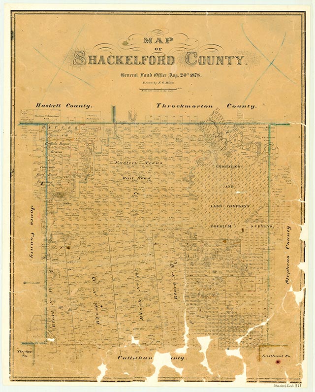
The town of Fort Griffin grew up on the level bottomland between the military fort bearing the same name and the Clear Fork of the Brazos River. The fort stood on a hill, and the townsite was frequently called the Bottom or the Flat. U.S. Highway 283 runs by the site about fifteen miles north of Albany in northern Shackelford County. The town, begun in the late 1860s, grew and quickly gained the reputation of a lawless frontier outpost that attracted such women as Lottie Deno and Mollie McCabe; lawmen Patrick F. Garrett, Doc Holiday, and Wyatt Earp; outlaws such as John Wesley Hardin; and men such as John Selman and John M. Larn, who lived on both sides of the law. By 1874 the lawlessness of the community had become so extreme that the commander of the fort placed the town under government control and forced a number of undesirable residents to leave; this situation lasted until the organization of Shackelford County later in the year. The community served as a major supply source for buffalo hunters, especially during the busy seasons from 1874 to 1876–77. The sale of hides and salted meat was brisk during this period. The Butterfield Overland Mail route passed west and north of the townsite at Clear Fork Crossing, and herds on the Western Trail after 1875 passed it en route to Kansas railheads. A newspaper, the Fort Griffin Echo, was published from 1879 to 1882, and a local academy operated for several years. At its height, Fort Griffin had a permanent population of about 1,000 and an estimated transient population of nearly twice that. With the buffalo gone, the trail drivers' needs served by Albany to the south, and the contingent of soldiers greatly reduced, the town declined. When the fort closed on May 31, 1881, and the Texas Central Railroad laid tracks through Albany instead of Fort Griffin, the end came rapidly. Although it survived into the twentieth century as a rural community with a school and country store, virtually nothing remains of this once riotous, flourishing town. By the 1940s the school consolidated with Albany's, and the post office closed.
Only remnants of a couple of the original buildings remain at the town site, but several are being reconstructed on the existing foundations. The Texas Parks and Wildlife Department held responsibility for preservation at the Fort Griffin State Historic Site until January 1, 2008, when the Texas Historical Commission acquired the 506 acre park and partially restored the fort ruins. The remaining fort buildings include a mess hall, barracks, administration building, powder magazine, and a restored bakery. Other remnants include a hand dug well, cistern, foundations, and a rock chimney. Recently, the Texas Historical Commission cleared mesquite trees and cactus from the site, and will expand a visitor center, as well as increase archaeological digs.
Lawrence Clayton | © TSHA

Adapted from the official Handbook of Texas, a state encyclopedia developed by Texas State Historical Association (TSHA). It is an authoritative source of trusted historical records.

- ✅ Adoption Status:
- This place is available for adoption! Available for adoption!
- Adopted by:
- Your name goes here
- Dedication Message:
- Your message goes here
Belongs to
Fort Griffin is part of or belongs to the following places:
Currently Exists
No
Place type
Fort Griffin is classified as a Town
Associated Names
- (The Flat)
Location
Latitude: 32.93205570Longitude: -99.23007710
Has Post Office
No
Is Incorporated
No
