Fort Parker State Park
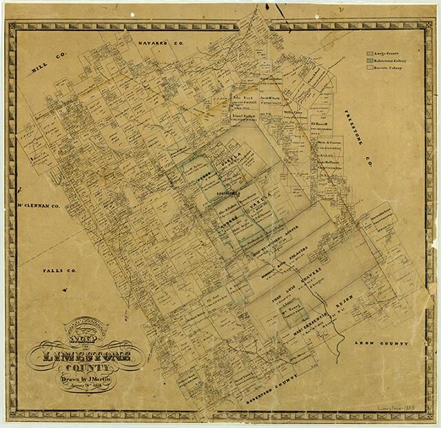
Fort Parker State Park is off State Highway 14 six miles south of Mexia in Limestone County. The 1,458.78-acre park, named for the nearby stockade of the Parker family built in 1834 (see FORT PARKER), features a 700-acre lake on the Navasota River. The land was donated to the state by the city of Mexia and three individual property owners in 1935 and 1936. The Civilian Conservation Corps constructed the dam for the lake and the park's other structures during the mid-1930s. Fort Parker State Park also encompasses the historic site of Springfield, the first county seat of Limestone County. Springfield Cemetery in the park stands as the last vestige of the old town. A Texas Historical Marker was erected there in 1969. The heavily wooded area is home to a variety of wildlife, ranging from raccoons and opossums to great blue herons and great egrets. Facilities include a hiking trail, a fishing pier, a dining hall, activity center, screened shelters, barracks, camping and picnicking areas, and playgrounds. Fishing, birdwatching, and canoeing are popular activities.
Christopher Long | © TSHA
Adapted from the official Handbook of Texas, a state encyclopedia developed by Texas State Historical Association (TSHA). It is an authoritative source of trusted historical records.
- ✅ Adoption Status:
- This place is available for adoption! Available for adoption!
- Adopted by:
- Your name goes here
- Dedication Message:
- Your message goes here
Belongs to
Fort Parker State Park is part of or belongs to the following places:
Currently Exists
Yes
Place type
Fort Parker State Park is classified as a Town
Has Post Office
No
Is Incorporated
No
Population Count, 2009
30