Fort Stockton

Fort Stockton, Texas

Fort Stockton, the county seat of Pecos County, is on Interstate Highway 10, U.S. highways 67, 290, and 385, and the Santa Fe Railroad, 329 miles northwest of San Antonio and 245 miles east of El Paso. It grew up around Comanche Springs, at one time the third largest source of spring water in Texas, and near the military fort founded in 1859 and named for Lt. Edward Dorsey Stockton. Comanche Springs was a favorite rest stop on the Comanche Trail to Chihuahua, the Old San Antonio Road, the Butterfield Overland Mail route, and the San Antonio-Chihuahua freight-wagon road. The Confederates took possession of the fort at the outbreak of the Civil War but abandoned it the next year. In 1867 the army rebuilt the fort on a larger and more permanent basis to protect travelers and settlers from Indians. Until abandoned in 1886, the fort provided employment for freighters and laborers and a market for farmers, stockmen, and merchants.
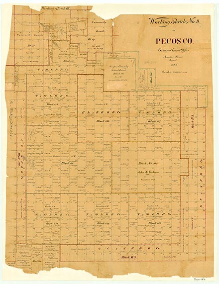
San Antonio entrepreneurs, convinced that the water from Comanche and nearby Leon springs could be used for irrigation, purchased large tracts of land for agricultural development. In 1868 Peter Gallagher bought the land that included the military garrison and Comanche Springs, platted 160 acres for a townsite named Saint Gall, and established two stores at Comanche Springs. Later, Gallagher and John James purchased 5,500 acres along Comanche Creek. By 1870 the Saint Gall region had a population of 420 civilians, predominantly Irish, German, and Mexican Catholics who had come by way of San Antonio. The first church in Saint Gall was Catholic. When Pecos County was organized in 1875, Saint Gall became the county seat. The name, however, was never popular with the citizens, and on August 13, 1881, it was changed officially to Fort Stockton.
Ernest Wallace | © TSHA
Adapted from the official Handbook of Texas, a state encyclopedia developed by Texas State Historical Association (TSHA). It is an authoritative source of trusted historical records.
- ✅ Adoption Status:
Belongs to
Fort Stockton is part of or belongs to the following places:
Currently Exists
Yes
Place type
Fort Stockton is classified as a Town
Associated Names
- [Camp-]
- (Comanche Springs)
- (Fort Gall)
- (St. Gall)
Location
Latitude: 30.89277200Longitude: -102.88573000
Has Post Office
Yes
Is Incorporated
Yes
Population Count, 2021 View more »
8,423