Frys Gap
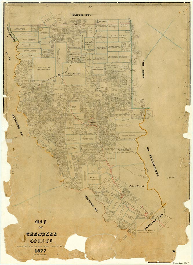
Fry's Gap was on the Texas and New Orleans Railroad four miles northwest of Jacksonville in northeastern Cherokee County. It was named for Sarah Fry, who lived in the area for many years. She sold the townsite for Jacksonville to the railroad with the stipulation that it locate a depot near her home on Fry's Summit before January 1873. A post office operated there from 1903 to 1905. A town, however, never grew up, though maps show a depot there as late as the mid-1930s. In the early 1990s only a few scattered houses remained in the area.
Christopher Long | © TSHA
Adapted from the official Handbook of Texas, a state encyclopedia developed by Texas State Historical Association (TSHA). It is an authoritative source of trusted historical records.
- ✅ Adoption Status:
- This place is available for adoption! Available for adoption!
- Adopted by:
- Your name goes here
- Dedication Message:
- Your message goes here
Belongs to
Frys Gap is part of or belongs to the following places:
Currently Exists
No
Place type
Frys Gap is classified as a Town
Associated Names
- [Fry's Gap]
Location
Latitude: 31.98738780Longitude: -95.34217330
Has Post Office
No
Is Incorporated
No