Garfield
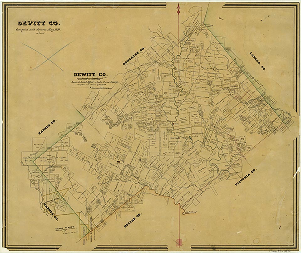
Garfield, on Farm Road 2656 ten miles west of Yorktown near the western corner of DeWitt County, was named for President James A. Garfield. J. G. Guenther taught the first school there in 1891, and the next year the Garfield Gun Club was started and a dance hall was built. A store was opened there in 1918, but by 1940 no community center was reported. The 1983 county highway map showed one business at Garfield. In 2000 the population was sixteen.
Nellie Murphree | © TSHA
Adapted from the official Handbook of Texas, a state encyclopedia developed by Texas State Historical Association (TSHA). It is an authoritative source of trusted historical records.
- ✅ Adoption Status:
- This place is available for adoption! Available for adoption!
- Adopted by:
- Your name goes here
- Dedication Message:
- Your message goes here
Belongs to
Garfield is part of or belongs to the following places:
Currently Exists
Yes
Place type
Garfield is classified as a Town
Location
Latitude: 29.04247320Longitude: -97.65194140
Has Post Office
No
Is Incorporated
No
Population Count, 2009
16