Garrett
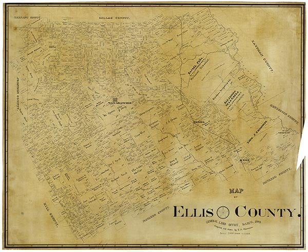
Garrett is on Farm Road 879 twelve miles east of Waxahachie in east central Ellis County. The settlement, named for William Garrett, one of the original landowners of the area, once served as an important shipping point for Ellis County farmers and businessmen. In the early 1870s Garrett became the site of the junction of the Waxahachie Tap Road and the Houston and Texas Central Railway. Mail and freight were shipped from Garrett to points west. At one time fifteen passenger trains a day passed through the town. In 1888 Garrett had 100 residents, fifteen businesses, four churches, and a school. A post office branch operated there from 1894 until 1960. By the early 1900s the community's population had reached 162, and that figure changed little over the next few decades. By the early 1950s, however, the railroads had ceased regular service to Garrett. On July 23, 1956, the town incorporated. By the mid-1970s its population had grown to 225; in 1980 it was reported as 220, in 1990 as 340, and in 2000 as 448.
David Minor | © TSHA
Adapted from the official Handbook of Texas, a state encyclopedia developed by Texas State Historical Association (TSHA). It is an authoritative source of trusted historical records.
- Adoption Status:
- This place has been adopted and will not be available until October 9, 2024
- Adopted by:
- Paula Mahan
- Dedication Message:
- In honor of my Garrett lineage.
Belongs to
Garrett is part of or belongs to the following places:
Currently Exists
Yes
Place type
Garrett is classified as a Town
Associated Names
- [-Junction]
- (Guide)
Location
Latitude: 32.36363670Longitude: -96.64931100
Has Post Office
No
Is Incorporated
Yes
Population Count, 2021 View more »
854