Gerald

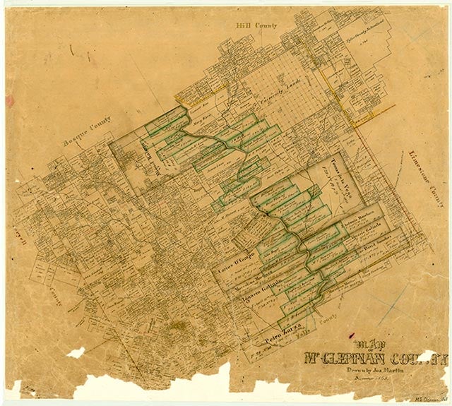
Gerald, on Farm Road 308 near Elm Creek two miles southwest of Leroy in northeastern McLennan County, was named for George Bruce Gerald, a McLennan county judge. A post office was established there in March 1888 with Joseph D. Morgan as postmaster. By the mid-1890s the community had a cotton gin, two general stores, and 300 residents; farming and cattle raising were among the primary occupations. The post office was discontinued in 1904, at which time Gerald had a population of 126, and mail for the community was rerouted through West. The Gerald common school district was consolidated with the West Independent School District in 1948. County highway maps of the area indicated that Gerald had a church and several scattered residences from the 1930s through the 1970s. A church and a cemetery marked the community on county highway maps in the 1980s.
Vivian Elizabeth Smyrl | © TSHA

Adapted from the official Handbook of Texas, a state encyclopedia developed by Texas State Historical Association (TSHA). It is an authoritative source of trusted historical records.

- ✅ Adoption Status:
Belongs to
Gerald is part of or belongs to the following places:
Currently Exists
No
Place type
Gerald is classified as a Town
Location
Latitude: 31.71321880Longitude: -97.04583310
Has Post Office
No
Is Incorporated
No
