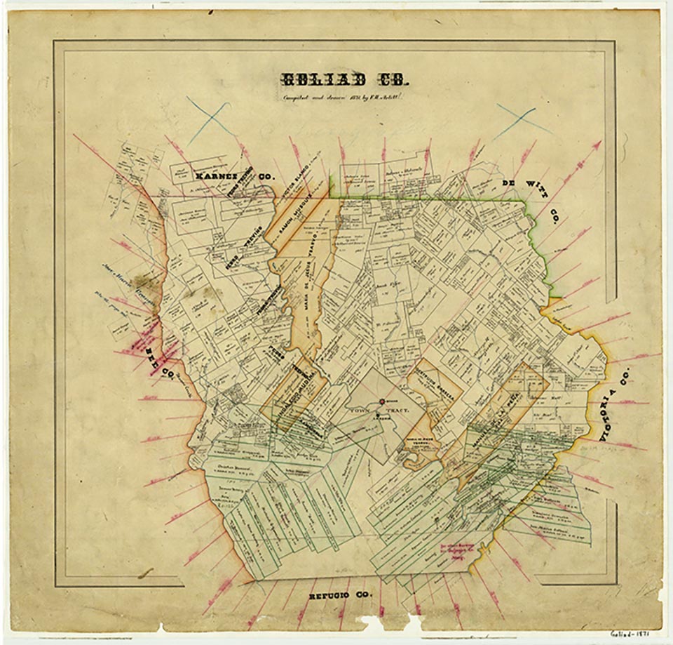
Goliad County

Goliad County, Texas

Goliad County, Texas
Goliad County is on the Coastal Plain twenty-five miles inland from Copano Bay in Southeast Texas. It is bounded by Bee, DeWitt, Karnes, Refugio, and Victoria counties. Goliad, one of the oldest settlements in Texas, is the county seat and largest town. The county's center point is at 28°40' north latitude and 97°23' west longitude. Goliad County, one of the original counties of Texas, was established in 1836, organized in 1837, and named for the vast Mexican Municipality of Goliad. It embraces 859 square miles, most of which is nearly level to gently rolling Rio Grande Plain, surfaced primarily by dark calcareous clays and sandy and clay loams, though land surfaces in the northeastern part of the county are primarily sandy loams and sands. The Coastal Prairie in the southeastern corner supports bluestem grassland, but most of the county lies within the post oak savannah belt and is dotted with blackjack, post, and live oak forests, intermixed with mesquite, huisache, red cedar, cacti, brush, and other vegetation; in the San Antonio River basin grow pecan and elm forests. The elevation ranges from 100 to 250 feet, and the climate is humid-subtropical. Temperatures range from an average high of 94° F in July to an average low of 46° in January, though records of 112° and 7° are recorded. The average growing season lasts 285 days, from late February to early December. The average annual precipitation is of 33.79 inches. The northeastern half of the county is drained primarily by the San Antonio River and Coleto, Manahuilla, and Perdido creeks; the southwestern area by Blanco, Mucorrera, and Sarco creeks. Coleto Creek Reservoir, an industrial reservoir on the Goliad-Victoria county line, is under the Guadalupe-Blanco River Authority. Typical mammals in Goliad County include white-tailed deer, bobcats, opossums, squirrels, foxes, armadillos, skunks, bats, cottontail rabbits, Plains pocket gophers, and mice; the county provides habitat for numerous reptile, fish, and bird species, such as the horned lizard and wild turkey.
Prehistoric fossils of mammoths, horses, camels, sloths, and bison of the Late Pleistocene era have been unearthed in the county, as well as artifacts from the Paleo-Indian period. Before European contact at least four Indian groups were living in the county: the Aranamas, the Karankawas, the Tonkawas, and the Tamiques. Comanche, Lipan Apache, and Tawakoni raids were common in the area by the early nineteenth century as well. Although Álvar Núñez Cabeza de Vaca may have traversed the county about 1535, and René Robert Cavelier, Sieur de La Salle, doubtless crossed it on his expeditions in 1685, the first European settlement was not established until 1749, when Nuestra Señora de Loreto Presidio and Nuestra Señora del Espíritu Santo de Zúñiga Mission were moved from the Guadalupe River in what is now Victoria County to a site called Santa Dorotea on the San Antonio River. The Victoria site had been prosperous, but the Spanish colonizer José de Escandón moved the presidio and mission, more commonly known as La Bahía, to guard the main roads from Mexico to San Antonio de Béxar and East Texas, as part of the Spanish government's attempt to stop French and English encroachment on Spanish-claimed territory in the New World. Indeed, in 1769 an English vessel from Maryland en route to New Orleans was wrecked off the Texas coast near La Bahía, and its passengers, forty-seven Dutch, thirty-four French, and fifteen English, were led inland to the Spanish presidio by Indians. The ship was confiscated, and the passengers were made to labor in the fields for six months before they were allowed to proceed overland to Natchitoches, Louisiana. A similar incident followed in 1771. La Bahía was also commercially important and received traffic via the Atascosito Road to East Texas, the La Bahía Road from Monclova, Coahuila, to Nacogdoches, and roads from Bexar and its port, El Cópano (Copano). La Bahía, Bexar, and Nacogdoches were the three most important areas of Spanish settlement in Texas.
Craig H. Roell | © TSHA
Adapted from the official Handbook of Texas, a state encyclopedia developed by Texas State Historical Association (TSHA). It is an authoritative source of trusted historical records.
- ✅ Adoption Status:
- This place is available for adoption! Available for adoption!
- Adopted by:
- Your name goes here
- Dedication Message:
- Your message goes here
Currently Exists
Yes
Place type
Goliad County is classified as a County
Altitude Range
50 ft – 420 ft
Size
Land area does not include water surface area, whereas total area does
- Land Area: 852.0 mi²
- Total Area: 859.4 mi²
Temperature
January mean minimum:
42.5°F
July mean maximum:
93.8°F
Rainfall, 2019
36.8 inches
Population Count, 2019
7,658
Civilian Labor Count, 2019
3,121
Unemployment, 2019
8.7%
Property Values, 2019
$2,754,794,147 USD
Per-Capita Income, 2019
$43,858 USD
Retail Sales, 2019
$40,971,254 USD
Wages, 2019
$13,263,666 USD
County Map of Texas
Goliad County
- Goliad County
Places of Goliad County
| Place | Type | Population (Year/Source) | Currently Exists |
|---|---|---|---|
| Town | – | – | |
| Town | 322 (2009) | Yes | |
| Town | – | – | |
| Town | 253 (2009) | Yes | |
| Town | – | – | |
| Town | – | – | |
| Town | 96 (2009) | Yes | |
| Town | – | – | |
| Town | – | – | |
| Lake | – | Yes | |
| Town | – | – | |
| Town | – | – | |
| Town | – | – | |
| Town | – | – | |
| Town | – | – | |
| Town | 359 (2009) | Yes | |
| Town | – | – | |
| Town | 1,624 (2021) | Yes | |
| Town | – | – | |
| Town | – | – | |
| Town | – | – | |
| Town | – | – | |
| Town | – | – | |
| Town | – | – | |
| Town | – | – | |
| Town | – | – | |
| Town | – | – | |
| Town | – | – | |
| Town | – | – | |
| Town | – | – | |
| Town | – | – | |
| Town | – | – | |
| Town | – | – | |
| Town | 347 (2009) | Yes | |
| Town | – | – | |
| Town | 411 (2009) | Yes | |
| Town | – | – |
Photos Nearby:

City of Goliad, Goliad County, Texas
Historic District in the City of Goliad, the seat of Goliad County, Texas. Photograph by Renelibrary.
.jpg)

A pier at Coleto Creek Reservoir
Photo by Kylelovesyou, Public Domain
Proud to call Texas home?
Put your name on the town, county, or lake of your choice.
Search Places »