Gonzales County

Gonzalez County, Texas

Gonzalez County, Texas
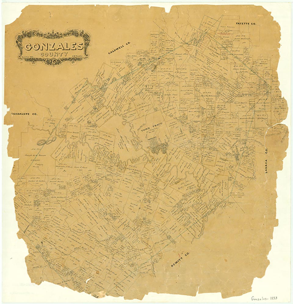
Gonzales County is south of Austin on U.S. highways 87, 90, 90A, and 183 and Interstate Highway 10. Gonzales is the county seat. Gonzales County, bordered by DeWitt, Lavaca, Fayette, Caldwell, and Guadalupe counties, comprises some 683,295 acres and 1,046.4 square miles, with elevations above sea level ranging from 2 to 400 feet. Major rivers that flow through the county include the San Marcos and the Guadalupe. The average annual rainfall is 32.6 inches, the annual temperature is 70° F, and the growing season averages 276 days a year. Three major land-resource areas in Gonzales County are the Texas Claypan Prairie, the Southern Blackland Prairie, and the Northern Rio Grande Plain. Seventy-five types of soils overlying nineteen different geologic formations have been identified in the county, the most diversified variety of any county in the state. Dark red sandstone is abundant in the northern and western areas of the county and quantities of light tan and gray sandstone have been quarried in the eastern area; both types of sandstone have been used as building material since the earliest arrival of settlers in the area. Typical vegetation in the county ranges from post oak savannah with tall grasses, post oak, and blackjack oak in the Texas Claypan area, to the dense growth of mesquite, prickly pear, brush, and low-growing grasses of the northern Rio Grande Plain, to the live oaks and pecan and walnut trees of the southern Blackland Prairie and timberlands. The walnut trees were a valuable source of wood for the numerous cabinetmakers that settled in the county; the demand for walnut was so great during the late 1800s that the trees were completely cleared. Natural resources include clay, used in the manufacture of household and personal-care products; sand and gravel, mined for road base and construction material; bentonite clay, used as a sealant; and oil, gas, and uranium (see URANIUM MINING). Large amounts of unconsolidated volcanic ash are found throughout the county, and at one time peat moss was mined in the Ottine area. The Salt Creek Flats in the southern portion of the county furnished the early settlers with enough salt to satisfy their needs, but salt was never produced commercially there.
Continuous human occupation has been documented in the Guadalupe River basin from the late Paleo-Indian period through the early historic period. Artifacts from hunter-gatherer groups, including pottery shards, worked stone, and bifaced stone tools, have been discovered. The Cuero I Archeological District, in Gonzales and DeWitt counties, is listed in the National Register of Historic Places. Bones of extinct animals have been located at Ottine. In historic times Coahuiltecan tribes occupied the area.
Dorcas Huff Baumgartner, Genevieve B. Vollentine | © TSHA
Adapted from the official Handbook of Texas, a state encyclopedia developed by Texas State Historical Association (TSHA). It is an authoritative source of trusted historical records.
- ✅ Adoption Status:
- This place is available for adoption! Available for adoption!
- Adopted by:
- Your name goes here
- Dedication Message:
- Your message goes here
Currently Exists
Yes
Place type
Gonzales County is classified as a County
Altitude Range
200 ft – 562 ft
Size
Land area does not include water surface area, whereas total area does
- Land Area: 1,066.7 mi²
- Total Area: 1,069.9 mi²
Temperature
January mean minimum:
39.9°F
July mean maximum:
94.2°F
Rainfall, 2019
34.9 inches
Population Count, 2019
20,837
Civilian Labor Count, 2019
9,135
Unemployment, 2019
6.3%
Property Values, 2019
$5,659,635,130 USD
Per-Capita Income, 2019
$43,342 USD
Retail Sales, 2019
$274,536,382 USD
Wages, 2019
$83,850,045 USD
County Map of Texas
Gonzales County
- Gonzales County
Places of Gonzales County
| Place | Type | Population (Year/Source) | Currently Exists |
|---|---|---|---|
| Town | – | – | |
| Town | – | – | |
| Town | – | – | |
| Town | 42 (2009) | Yes | |
| Town | – | – | |
| Town | 55 (2009) | Yes | |
| Town | – | – | |
| Town | – | – | |
| Town | – | – | |
| Town | – | – | |
| Town | – | – | |
| Town | – | – | |
| Town | – | – | |
| Town | – | – | |
| Town | 5 (2009) | Yes | |
| Town | – | – | |
| Town | – | – | |
| Town | – | – | |
| Town | – | – | |
| Town | 84 (2009) | Yes | |
| Town | – | – | |
| Town | – | – | |
| Town | – | – | |
| Town | 30 (2009) | Yes | |
| Town | 18 (2009) | Yes | |
| Town | 20 (2009) | Yes | |
| Town | – | – | |
| Town | – | – | |
| Town | – | – | |
| Town | – | – | |
| Town | 10 (2009) | Yes | |
| Town | 7,098 (2021) | Yes | |
| Town | – | – | |
| Town | 20 (2009) | Yes | |
| Town | – | – | |
| Town | 36 (2021) | Yes | |
| Town | – | – | |
| Town | – | – | |
| Town | – | – | |
| Town | – | – | |
| Town | – | – | |
| Town | – | – | |
| Town | – | – | |
| Lake | – | Yes | |
| Town | – | – | |
| Town | 152 (2009) | Yes | |
| Town | 15 (2009) | Yes | |
| Town | – | – | |
| Town | – | – | |
| Town | – | – | |
| Town | – | – | |
| Town | – | – | |
| Town | – | – | |
| Town | 32 (2009) | Yes | |
| Town | – | – | |
| Town | – | – | |
| Town | – | – | |
| Town | – | – | |
| Town | – | – | |
| Town | – | – | |
| Town | – | – | |
| Town | 2,355 (2021) | Yes | |
| Town | 24 (2009) | Yes | |
| Town | – | – | |
| Town | 80 (2009) | Yes | |
| Town | – | – | |
| Town | – | – | |
| Town | – | – | |
| Town | – | – | |
| Town | 22 (2009) | Yes | |
| Town | – | – | |
| Town | – | – | |
| Town | – | – | |
| Town | – | – | |
| Town | – | – | |
| Town | – | – | |
| Town | – | – | |
| Town | – | – | |
| Town | 16 (2009) | Yes | |
| Town | – | – | |
| Town | – | – | |
| Town | 15 (2009) | Yes | |
| Town | – | – | |
| Town | – | – | |
| Town | 10 (2009) | Yes | |
| Town | 480 (2021) | Yes | |
| Town | – | – | |
| Town | – | – | |
| Town | – | – | |
| Town | – | – | |
| Town | – | – | |
| Town | 45 (2009) | Yes | |
| Town | – | – | |
| Town | – | – | |
| Town | 30 (2009) | Yes | |
| Town | – | – | |
| Town | 941 (2021) | Yes | |
| Town | – | – | |
| Town | – | – | |
| Town | – | – | |
| Town | 10 (2009) | Yes | |
| Town | – | – | |
| Town | – | – | |
| Town | – | – | |
| Town | – | – |
Proud to call Texas home?
Put your name on the town, county, or lake of your choice.
Search Places »