Gospel Hill
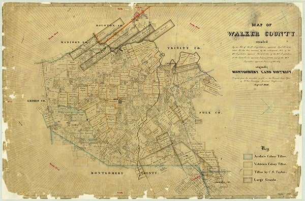
Before being unundated in 1969 by Lake Livingston, Carolina Creek was a spring-fed perennial stream that rose at the confluence of two forks, West Carolina and East Carolina creeks, near the northwestern boundary of the Sam Houston National Forest in far eastern Walker County (at 30°51' N, 95°20' W) and flowed north for two miles to its mouth on the Trinity River, near the Walker and San Jacinto county lines (at 30°52' N, 95°20' W). East Carolina Creek rises two miles east of Dodge (at 30°45' N, 95°21' W) and flows north ten miles through northwestern San Jacinto County along the Walker county line, and West Carolina Creek rises two miles northeast of Dodge (at 30°45' N, 95°22' W) and flows north nine miles. Both forks now drain into Lake Livingston. They traverse gently rolling to nearly level terrain surfaced by sandy loam that supports loblolly pine, sweet gum, short-leaf pine, post oak, and black hickory trees near the banks. Settlement in the vicinity began in the mid-1830s. In the late 1830s the original Carolina community was founded in the vicinity of the forks' mouths; a settlement known as Carolina Mill existed farther upstream from 1870 to 1900. The Palmetto Park community is located just west of the west fork, and Staley lies just east of the east fork. The present Carolina community, first known as Gilbert Settlement, was established during the 1850s where the two tributaries meet. The Gospel Hill community has been located on the west bank of the west fork since the early twentieth century.
| © TSHA
Adapted from the official Handbook of Texas, a state encyclopedia developed by Texas State Historical Association (TSHA). It is an authoritative source of trusted historical records.
- ✅ Adoption Status:
- This place is available for adoption! Available for adoption!
- Adopted by:
- Your name goes here
- Dedication Message:
- Your message goes here
Belongs to
Gospel Hill is part of or belongs to the following places:
Currently Exists
No
Place type
Gospel Hill is classified as a Town
Location
Latitude: 30.82907810Longitude: -95.35521840
Has Post Office
No
Is Incorporated
No