Grange Hall
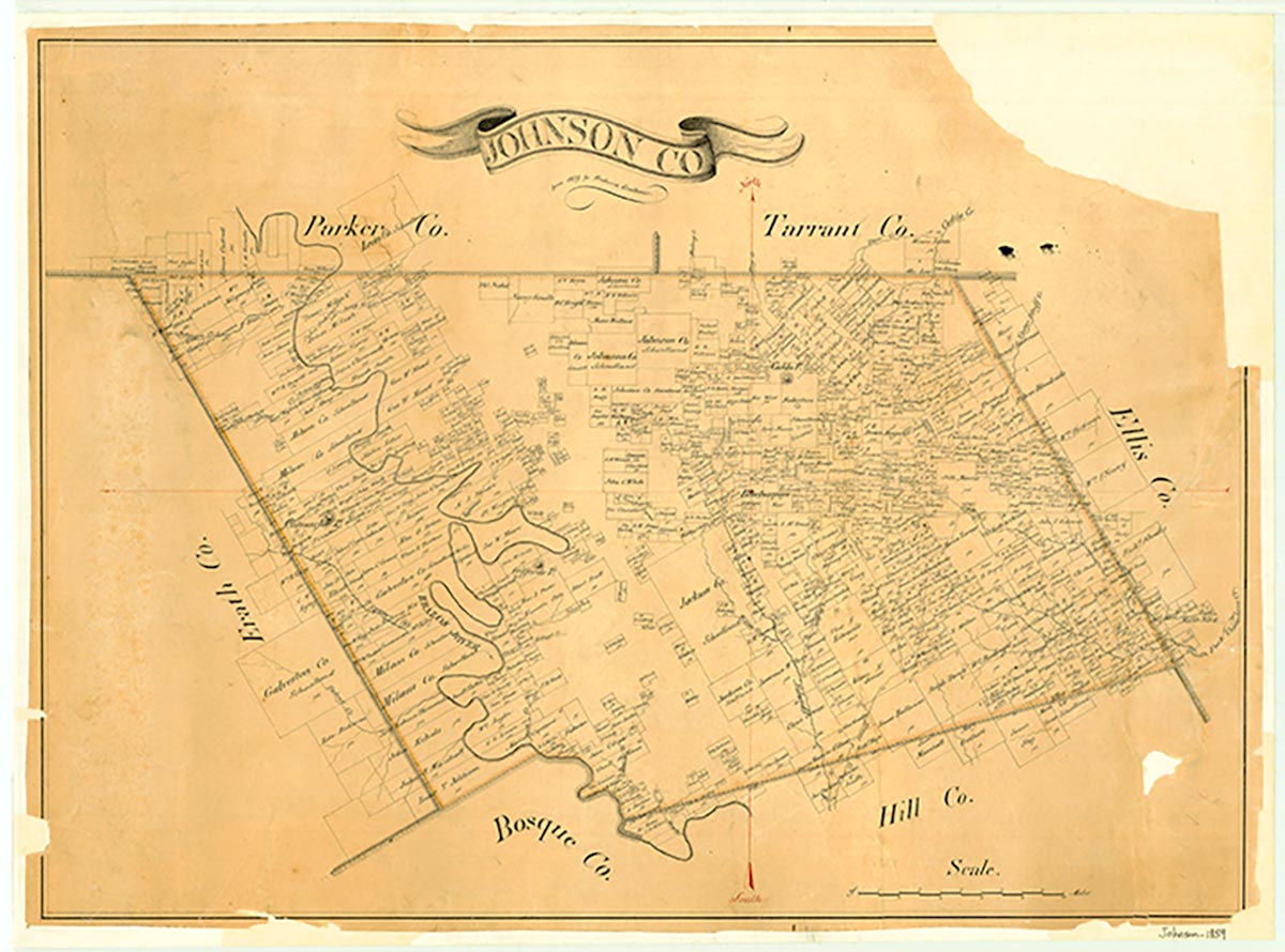
Rio Vista is on Highway 174 seven miles south of Cleburne, twenty miles south of Fort Worth, and twenty-five miles southwest of Dallas in Johnson County. On March 21, 1801, after several trips into the area of the Sabine River, Phillip Nolan advanced inland with a party of eighteen men as far as the Brazos River. The party was attacked, and Nolan was killed. In 1954 a granite monument in memory of the event was placed three miles south of Rio Vista on Highway 174. Anadarco Indian chief José María terrorized the area in the 1830s but was at peace with the frontier settlers by the 1840s. On December 11, 1837, George Gentry was granted a parcel of land in Robertson District, Navarro County, on Trout Creek, a tributary of Nolan River. He sold it to B. J. Chambers, who in 1856 sold 1,280 acres to R. Meredith Hart. In July 1849 Henry Briden and his bride, Lucinda (Sevier), arrived in a wagon pulled by oxen, accompanied by her father, Charles Sevier, and an uncle, A. G. Sevier. At the Nolan River west of the site of Rio Vista they found springs of water and constructed a log cabin, the first house in Johnson County. Several area homes have Texas historical markers, as does the Chisholm Trail west of town. The community was known as Grange Hall and Kimbell before 1881, when the Gulf, Colorado and Santa Fe Railway was completed a mile east and the townsite of Rio Vista was laid out overlooking the Nolan River and Mustang Creek. Grange Hall declined, and Rio Vista grew. In 1884 residents from neighboring Derden, Nathan, Hart, and Sullivan moved to the new site. After the first train came through in 1885, as many as three arrived daily. In 1900 the town had churches, schools, a bank, a meat market, a blacksmith shop, a saloon, a general store, a cotton gin, and a livery stable. A post office, telephone lines, and an excellent water well enhanced the town's prosperity. A cattle-dipping vat and a cotton yard were located near the new depot. In 1914 a fire swept through the business part of town. The many businesses destroyed were never restored.
Almost exactly at the railroad tracks, the land divides itself into good, flat, black land for farming on the east and more picturesque, slightly rolling land suitable for ranching on the west. Rio Vista has always been an agricultural community, producing such crops as cotton, corn, milo, wheat, hay, and peanuts. Cattle, especially dairy, and horses have also been raised. The rerouting of State Highway 174 in the mid-1950s so that it would pass through Rio Vista into Hill and Bosque counties and Lake Whitney set off a spurt of growth on the west side of the highway. A new post office and a landing field were built by 1969. In 1990 Rio Vista had a population of 541, a fire department, four churches, a school system, three grocery stores, a custom feed mill and feed store, two antique stores, and several small businesses. The population reached 656 in 2000.
Georgia Fuqua | © TSHA
Adapted from the official Handbook of Texas, a state encyclopedia developed by Texas State Historical Association (TSHA). It is an authoritative source of trusted historical records.
- ✅ Adoption Status:
- This place is available for adoption! Available for adoption!
- Adopted by:
- Your name goes here
- Dedication Message:
- Your message goes here
Belongs to
Grange Hall is part of or belongs to the following places:
Currently Exists
No
Place type
Grange Hall is classified as a Town
Associated Names
- (Rio Vista)
Location
Latitude: 32.22792530Longitude: -97.39807230
Has Post Office
No
Is Incorporated
No