Granger Lake

Granger Lake Dam

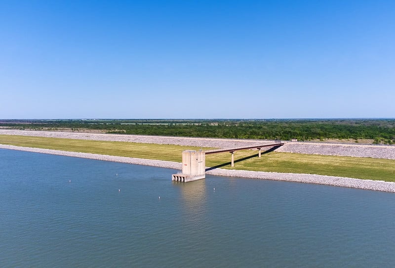
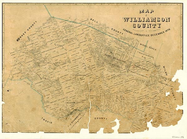
Granger Lake, formerly known as Laneport Lake, and Granger Dam are on the San Gabriel River in the Brazos River basin six miles southeast of Granger in northeastern Williamson County (at 30°42' N, 97°20' W). The dam is owned by the United States government and operated by the United States Army Corps of Engineers, Fort Worth District. The Corps of Engineers constructed the project, beginning in 1972 and completing it in 1977. Granger Lake is impounded by an earthfill dam 16,320 feet long and is used for flood control, water conservation, recreation, and wildlife habitat. The crest of the spillway is 528 feet above mean sea level, and the conservation storage capacity is 561,100 acre-feet with a surface area of 18,820 acres. The drainage area above the dam is approximately 709 square miles.
| © TSHA

Adapted from the official Handbook of Texas, a state encyclopedia developed by Texas State Historical Association (TSHA). It is an authoritative source of trusted historical records.

- ✅ Adoption Status:
- This place is available for adoption! Available for adoption!
- Adopted by:
- Your name goes here
- Dedication Message:
- Your message goes here
Belongs to
Granger Lake is part of or belongs to the following places:
Lake Measurements
- Surface Area (in acres): 4,159
- Storage Capacity (in acre-feet): 51,822
Lake Maintained or Owned by
USAE
Date of Origin
1980 (44 years ago)Currently Exists
Yes
Place type
Granger Lake is classified as a Lake
Purposes
- Flood Control
- Municipal water supply
- Industry
Associated Names
- (Laneport Lake)

