Gray County
.JPG "Gray County, Texas")
.JPG)
Gray County, Texas

Gray County, Texas
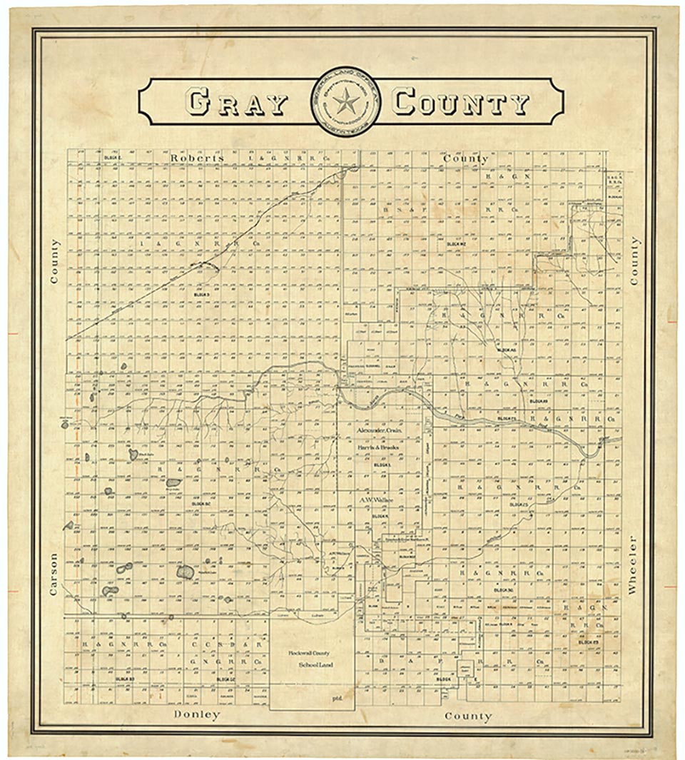
Gray County is located in the central part of the Panhandle and the eastern edge of the High Plains. Its center point is at 35°25' north latitude and 100°49' west longitude. Lefors is located near the center of the county, and Pampa, the county seat, is about twelve miles away in the northwestern corner. Pampa is approximately sixty miles northeast of Amarillo on U.S. Highway 60. The county occupies 934 square miles of level prairie and rolling river breaks. The county's sandy loam and black waxy soils support a variety of native grasses as well as abundant wheat, corn, grain sorghum, and hay crops. The timber in the riverbottoms includes cottonwoods, hackberries, elms, and walnuts as well as the ever-present mesquite. The county has huge reservoirs of oil and natural gas. Gray County is basically made up of two distinct parts: the flat plains in the west and north, and the Red River breaks in the east, center, and southeast. Gray County is at the head of the North Fork of the Red River; numerous intermittent and flowing creeks can be found in the eastern part of the county. McClellan Creek flows northeastward across the southern part of the county toward the North Fork, and the North Fork itself flows across the central part. Cantonment Creek flows southward and empties into the North Fork in the northeastern corner of the county. The elevation ranges from 2,500 to 3,300 feet above sea level, the average annual rainfall is 20.14 inches, and the growing season averages 195 days a year. The average minimum temperature is 23° F in January, and the average maximum is 94° in July.
Gray County, formed in 1876 out of the Bexar District, was named for Peter W. Gray, a lawyer and politician of the Republic of Texas and Civil War eras. The county's prehistoric Plains Apache inhabitants gave way to the Apaches, who in turn were displaced by the Comanches and Kiowas. These peoples dominated the Panhandle until they were crushed in the Red River War of 1874 and removed to Indian Territory. With Gray County for settlement, ranchers began to reach the region as early as 1877. In 1878 a well-known local rancher, Perry LeFors, established a small ranch on Cantonment Creek. Other small ranching operations developed in the eastern part of the county. In 1882 the Francklyn Land and Cattle Company purchased a huge tract of land that included the western part of Gray County. The company failed in 1886 and was reorganized as the White Deer Lands (formally the White Deer Lands Trust of British bondholders), which operated the huge Diamond F Ranch. For the rest of the nineteenth century Gray County remained the domain of cattle ranchers. The population, 56 in 1880, rose only to 203 in 1890 and 480 by 1900. A ranching economy with little need for manpower occupied the area. By the turn of the century the county's stable stock-farming population felt a growing need for self-government. As a result, in 1902 the county was organized with Lefors as the county seat. Lefors, a tiny ranching town, remained the county seat until 1928, when Pampa's oil-induced growth led to its becoming the county seat.
Donald R. Abbe | © TSHA
Adapted from the official Handbook of Texas, a state encyclopedia developed by Texas State Historical Association (TSHA). It is an authoritative source of trusted historical records.
- ✅ Adoption Status:
- This place is available for adoption! Available for adoption!
- Adopted by:
- Your name goes here
- Dedication Message:
- Your message goes here
Currently Exists
Yes
Place type
Gray County is classified as a County
Altitude Range
2450 ft – 3320 ft
Size
Land area does not include water surface area, whereas total area does
- Land Area: 926.0 mi²
- Total Area: 929.3 mi²
Temperature
January mean minimum:
23.3°F
July mean maximum:
91.4°F
Rainfall, 2019
23.2 inches
Population Count, 2019
21,886
Civilian Labor Count, 2019
7,888
Unemployment, 2019
9.7%
Property Values, 2019
$2,224,608,875 USD
Per-Capita Income, 2019
$44,002 USD
Retail Sales, 2019
$302,040,154 USD
Wages, 2019
$96,974,094 USD
County Map of Texas
Gray County
- Gray County
Places of Gray County
| Place | Type | Population (Year/Source) | Currently Exists |
|---|---|---|---|
| Town | 50 (2021) | Yes | |
| Town | 6 (2014) | Yes | |
| Town | – | – | |
| Town | 10 (2014) | Yes | |
| Town | – | – | |
| Town | – | – | |
| Town | – | – | |
| Town | – | – | |
| Town | – | – | |
| Town | – | – | |
| Town | – | – | |
| Town | – | – | |
| Town | – | – | |
| Town | – | – | |
| Town | – | – | |
| Town | – | – | |
| Town | 13 (2014) | Yes | |
| Town | – | – | |
| Town | 5 (2014) | Yes | |
| Town | – | – | |
| Town | – | – | |
| Town | – | – | |
| Town | 412 (2021) | Yes | |
| Town | 654 (2021) | Yes | |
| Town | – | – | |
| Town | – | – | |
| Town | – | – | |
| Town | – | – | |
| Town | – | – | |
| Town | 16,474 (2021) | Yes | |
| Town | – | – | |
| Town | – | – | |
| Town | – | – | |
| Town | – | – | |
| Town | – | – | |
| Town | – | – | |
| Town | – | – | |
| Town | – | – | |
| Town | – | – | |
| Town | – | – |
Photos Nearby:

City of Pampa, Texas
Business District in the City of Pampa, seat of Gray County, Texas. Photograph by Charles Henry.

Restored Gas Pumps in Alanreed
You can visit this restored 66 Super Service Station in Alanreed, but don't expect to get any gas. Photo by CTLiotta (Public Domain)
Proud to call Texas home?
Put your name on the town, county, or lake of your choice.
Search Places »