Hackberry
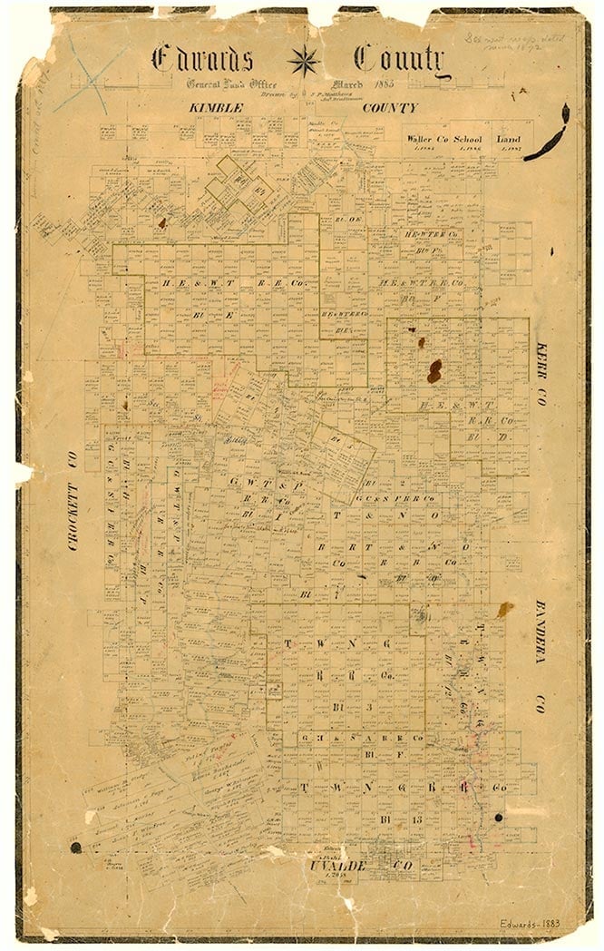
Hackberry is on Hackberry Creek and Farm Road 335 near the Nueces River seven miles east of Rocksprings in eastern Edwards County. Indian caves have been excavated in the area, and ranchers arrived there in the 1880s. The Hackberry Store was opened near the confluence of Hackberry Creek and the Nueces River in the early years of the twentieth century, and a post office was opened in the store in 1914. Crawley School, a private school run by an Englishman named Crawley, was located on Hackberry Creek for a time early in the twentieth century, and a one-room public school was in operation by 1920. In 1925 the community had an estimated population of seventy-five, and it had two businesses in the 1930s. The population dropped to an estimated fifty by the 1940s; in 1948 Hackberry had a school and a number of scattered dwellings. The Hackberry school was consolidated with the Nueces Canyon School District in 1953, and by 1971 all that remained in Hackberry was a cemetery and a few scattered dwellings. The community was still listed on state highway maps in 1990. In 2000 the population was three.
Mark Odintz | © TSHA

Adapted from the official Handbook of Texas, a state encyclopedia developed by Texas State Historical Association (TSHA). It is an authoritative source of trusted historical records.

- ✅ Adoption Status:
Belongs to
Hackberry is part of or belongs to the following places:
Currently Exists
Yes
Place type
Hackberry is classified as a Town
Associated Names
- (Paloma)
Location
Latitude: 29.92743680Longitude: -100.01257210
Has Post Office
No
Is Incorporated
No
Population Count, 2014
3

