Hale County

.jpg)
Hale County, Texas

Hale County, Texas
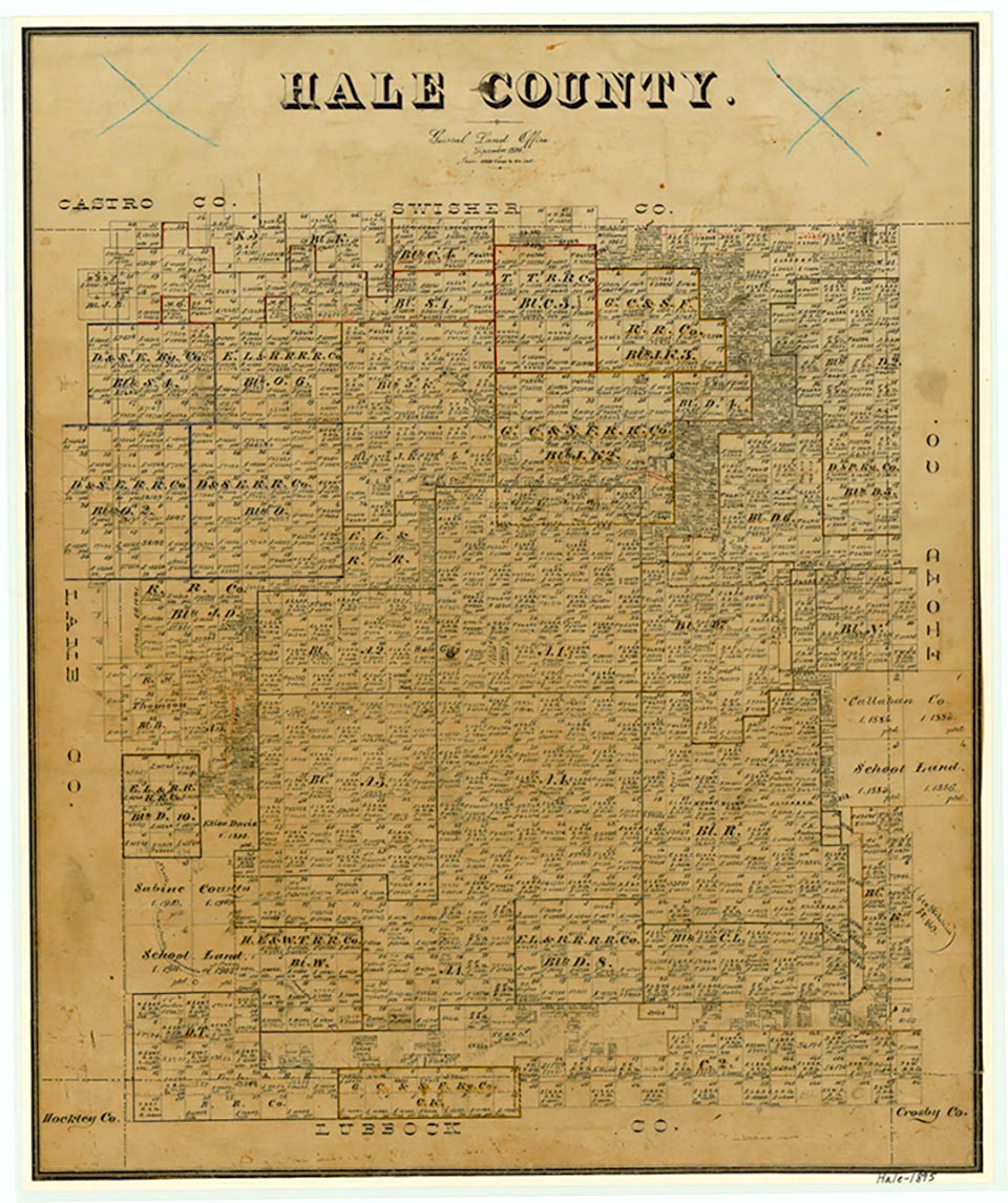
Hale County is on the Llano Estacado in northwest Texas, bounded on the east by Floyd County, on the south by Lubbock County, on the west by Lamb County, and on the north by Swisher and Castro counties. Its center point is at 34°05' north latitude and 101°50' west longitude, about forty miles north of Lubbock. The county was named for John C. Hale, who died at the battle of San Jacinto. Hale County covers 979 square miles of flat terrain, with fertile sandy and loamy soils and many playas; the elevation ranges from 3,200 to 3,600 feet above sea level. There is a considerable supply of underground water from the vast Ogallala Aquifer. Running Water Draw cuts southeastward across the county through Plainview, and Black Water Draw touches the southwestern part of the county. Hale County's average annual rainfall is 19.34 inches. The average minimum temperature in January is 26° F, and the average maximum in July is 93°; the growing season lasts 211 days. Hale County produces an average annual agricultural income of $160 million, 80 percent of which comes from cotton, corn, soybeans, sorghums, wheat, and vegetables; the remainder derives from beef cattle, swine, and sheep. In 1982 the county had 468,000 acres of irrigated land. Petroleum production in 1990 was more than 1,941,000 barrels; by January 1991 more than 148,177,000 barrels of oil had been pumped from Hale County lands since its discovery in 1946. Food processing and the manufacture of farm equipment generated $46,700,000 in 1991. The county's road network includes U.S. Highway 87 (Interstate 27), which runs north to south, and U.S. Highway 70, which runs west to east. The Santa Fe and the Fort Worth and Denver rail lines cross the county.
Important evidence of early man was discovered in 1941 within the city limits of Plainview, where a fossil bed yielded the skeletons of a hundred bison and more than two dozen flint tools, including a distinctive projectile point used with a spear or atlatl; this type of point has been called the Plainview point since its discovery. Radiocarbon dating of articles found in the excavation demonstrated that human beings lived in the area about 9,000 years ago. Comanches hunted in the area from the early eighteenth century to the 1870s, preying on the large herds of buffalo that roamed the plains. By 1876, when Hale County was marked off from Bexar County, both the Comanches and the buffalo had disappeared. The wealth of the isolated country was not immediately obvious, although there was some money to be made from the bone business and from taming mustangs. The first cattle were brought into the area in 1881, when Illinois brothers named Morrison established the Cross L Ranch, which covered twenty square miles at the corners of Hale, Lamb, Castro, and Swisher counties (the Morrisons later sold the spread to C. C. Slaughter). The first permanent settler in the county was Horatio Graves, a Methodist minister and farmer, who purchased four sections and moved into the area in 1883; he experimented with farming by growing garden and feed crops. Within the next two years other settlers, including A. E. Adams, A. N. Jones, D. L. Shepley, and F. M. and L. T. Lester, moved into the county with their families. Once a month Graves carried the mail for local ranchers and other settlers from Estacado to a post office he established in 1884. His home became the center of the community during the early years of settlement; church services and school classes were held there. In 1886 another early settler, Z. T. Maxwell, located his homestead at the site of two hackberry groves on the old military trail established by Col. Ranald S. Mackenzie. The town of Plainview later grew around Maxwell's settlement. After establishing Hale County in 1876 the Texas legislature attached it successively to Baylor, Donley, and Crosby counties for administrative purposes. The county was organized in 1888, with Plainview as county seat. In 1890 the census counted 721 residents.
John Leffler | © TSHA
Adapted from the official Handbook of Texas, a state encyclopedia developed by Texas State Historical Association (TSHA). It is an authoritative source of trusted historical records.
- ✅ Adoption Status:
- This place is available for adoption! Available for adoption!
- Adopted by:
- Your name goes here
- Dedication Message:
- Your message goes here
Currently Exists
Yes
Place type
Hale County is classified as a County
Altitude Range
3180 ft – 3620 ft
Size
Land area does not include water surface area, whereas total area does
- Land Area: 1,004.7 mi²
- Total Area: 1,004.8 mi²
Temperature
January mean minimum:
25.8°F
July mean maximum:
91.0°F
Rainfall, 2019
20.5 inches
Population Count, 2019
33,406
Civilian Labor Count, 2019
11,416
Unemployment, 2019
8.3%
Property Values, 2019
$2,851,296,139 USD
Per-Capita Income, 2019
$32,263 USD
Retail Sales, 2019
$343,351,978 USD
Wages, 2019
$118,706,414 USD
County Map of Texas
Hale County
- Hale County
Places of Hale County
| Place | Type | Population (Year/Source) | Currently Exists |
|---|---|---|---|
| Town | 2,804 (2021) | Yes | |
| Town | – | – | |
| Town | – | – | |
| Town | – | – | |
| Town | – | – | |
| Town | – | – | |
| Town | – | – | |
| Town | – | – | |
| Town | – | – | |
| Town | – | – | |
| Town | 300 (2009) | Yes | |
| Town | – | – | |
| Town | – | – | |
| Town | – | – | |
| Town | 86 (2021) | Yes | |
| Town | – | – | |
| Town | – | – | |
| Town | 18 (2009) | Yes | |
| Town | – | – | |
| Town | – | – | |
| Town | 2,015 (2021) | Yes | |
| Town | 165 (2009) | Yes | |
| Town | 25 (2009) | Yes | |
| Town | – | – | |
| Town | – | – | |
| Town | – | – | |
| Town | – | – | |
| Town | 26 (2009) | Yes | |
| Town | – | – | |
| Town | – | – | |
| Town | 982 (2021) | Yes | |
| Town | 19,739 (2021) | Yes | |
| Town | – | – | |
| Town | – | – | |
| Town | 24 (2009) | Yes | |
| Town | – | – | |
| Town | – | – | |
| Town | 1,849 (2021) | Yes | |
| Town | – | – | |
| Town | – | – | |
| Town | – | – | |
| Town | – | – | |
| Town | – | – | |
| Town | – | – | |
| Town | – | – | |
| Town | – | – |
Photos Nearby:

Plainview, Texas
Downtown view of Plainview, the seat of Hale County, Texas. Photograph by Robert Plocheck.

Abernathy, Texas
Abernathy Texas Plains Grain Elevator 2010.jpg Photograph by Leaflet
Proud to call Texas home?
Put your name on the town, county, or lake of your choice.
Search Places »