Ham
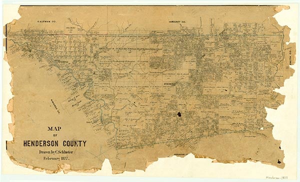
Pauline was on Twin Creek at the intersection of U.S. Highway 175 and Farm Road 85, sixteen miles northwest of Athens in Henderson County. The community became a switch on the Texas and New Orleans Railroad in 1900. It was first known as Ham and had a post office under this name from 1901 to 1912. In 1912 the post office name was changed to Pauline; the office closed in 1921. Two businesses and a population of ten were reported at the community in 1910. Four general stores, five fruit growers, and two potato shippers were reported in 1914. In 1940 Pauline consisted of two businesses and a population of fifty; it reported this population level through the mid-1940s, after which no further statistics were available. A 1948 map shows scattered rural dwellings in the area. The community was not marked on the 1983 county highway map.
Amy M. Reif | © TSHA
Adapted from the official Handbook of Texas, a state encyclopedia developed by Texas State Historical Association (TSHA). It is an authoritative source of trusted historical records.
- ✅ Adoption Status:
- This place is available for adoption! Available for adoption!
- Adopted by:
- Your name goes here
- Dedication Message:
- Your message goes here
Belongs to
Ham is part of or belongs to the following places:
Currently Exists
No
Place type
Ham is classified as a Town
Associated Names
- (Garry)
- (Gossett Switch)
- (Pauline)
Has Post Office
No
Is Incorporated
No