Hardin
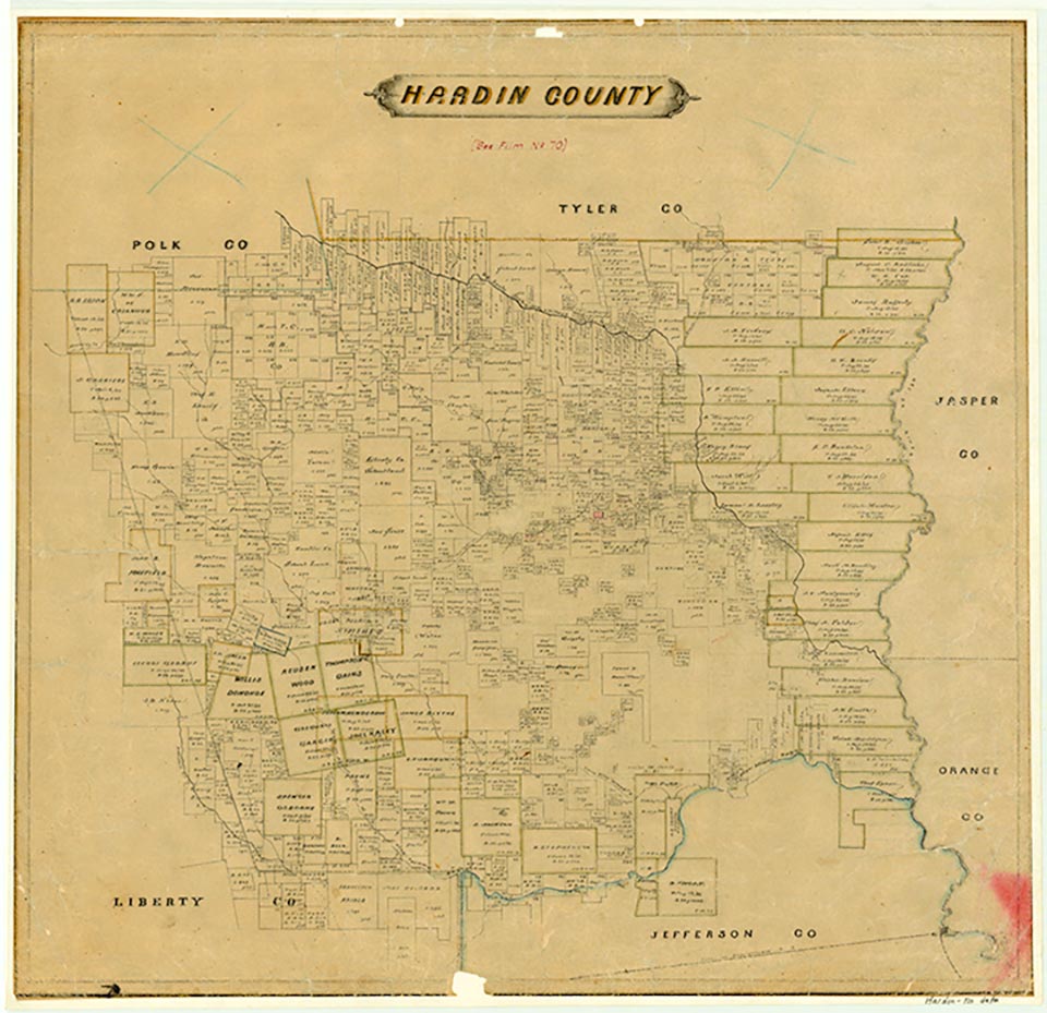
Hardin, sometimes known as Old Hardin, lies at the junction of Farm Road 770 and State Highway 326, in central Hardin County thirty-three miles north of Beaumont. The community, one of the earliest settlements in the area, was made the first county seat of newly formed Hardin County in 1858. A post office opened there two years later, but the town, in the heart of the Big Thicket, remained small. By 1878 it consisted largely of the courthouse, several stores, and a gristmill. It also had a Grange association and a temperance organization. The town's decline began in the early 1880s, when the newly constructed Sabine and East Texas Railroad passed two miles east of the county seat. Nearby railroad stations such as Kountze robbed much of Hardin's business. The community did, however, stave off an attempt to move the county courthouse in 1884, preventing those factions supporting the move from winning the necessary two-thirds majority by eleven votes. A fire in 1886 gutted the Hardin courthouse, and county electors voted to move the seat of government to Kountze in 1887. The community's population, calculated at 150 in 1878 and 113 in 1900, gradually diminished, and the post office was discontinued in 1903. The 1984 county highway map showed two businesses at Hardin.
Robert Wooster | © TSHA
Adapted from the official Handbook of Texas, a state encyclopedia developed by Texas State Historical Association (TSHA). It is an authoritative source of trusted historical records.
- ✅ Adoption Status:
Belongs to
Hardin is part of or belongs to the following places:
Currently Exists
No
Place type
Hardin is classified as a Town
Associated Names
- [Old-]
Location
Latitude: 30.34355400Longitude: -94.34608200
Has Post Office
No
Is Incorporated
No