Hardy
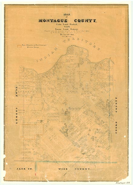
Hardy, on Farm Road 1630 twelve miles southeast of Montague in southeastern Montague County, was named for R. Hardy, who in 1880 established a sawmill at the site. A post office opened there in 1880 and closed in 1916. Hardy added a steam-powered gristmill and cotton gin before 1885. By 1904 the community reported 103 residents, probably the highest population it ever recorded. Rail lines bypassed Hardy, and its population decreased to twenty-five by the mid-1930s and remained at that level through the 1940s, after which no population statistics were available for several decades. The 1984 county highway map showed a cemetery at the Hardy townsite. In 2000 the population was six.
Brian Hart | © TSHA
Adapted from the official Handbook of Texas, a state encyclopedia developed by Texas State Historical Association (TSHA). It is an authoritative source of trusted historical records.
- ✅ Adoption Status:
- This place is available for adoption! Available for adoption!
- Adopted by:
- Your name goes here
- Dedication Message:
- Your message goes here
Belongs to
Hardy is part of or belongs to the following places:
Currently Exists
No
Place type
Hardy is classified as a Town
Associated Names
- (Willa Walla)
Location
Latitude: 33.57649670Longitude: -97.52058100
Has Post Office
No
Is Incorporated
No