Harriet
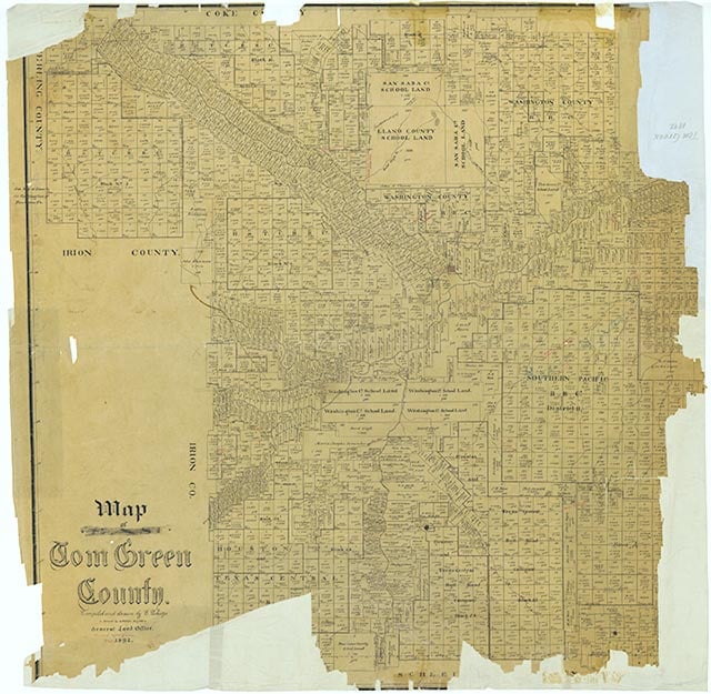
Harriet (Harriett) is on U.S. Highway 67 and the Atchison, Topeka and Santa Fe Railway, ten miles northeast of San Angelo in northeastern Tom Green County. A post office was established there in 1909 with Charles P. Lovelace as postmaster. A month later the post office changed its name from Harriet to Harriett and continued to served the area until it was moved to San Angelo in 1927. The community reported a population of twelve and two businesses in 1936, and county maps of the 1950s showed a church and several buildings there. Harriet was shown on the 1984 county highway map with a railroad station and, two miles northeast, a cemetery.
Charles G. Davis | © TSHA
Adapted from the official Handbook of Texas, a state encyclopedia developed by Texas State Historical Association (TSHA). It is an authoritative source of trusted historical records.
- ✅ Adoption Status:
Belongs to
Harriet is part of or belongs to the following places:
Currently Exists
No
Place type
Harriet is classified as a Town
Associated Names
- [Harriett]
Location
Latitude: 31.54710410Longitude: -100.31870040
Has Post Office
No
Is Incorporated
No