Hartley County

Hartley County, Texas

Hartley County, Texas
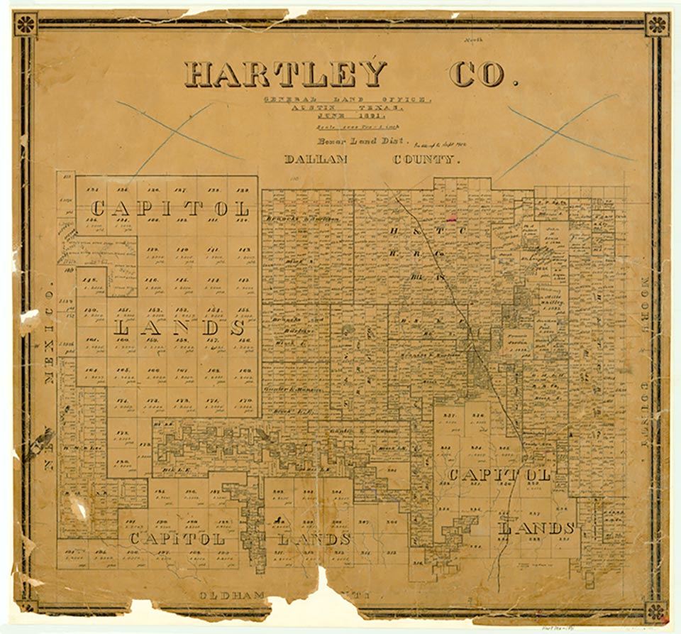
Hartley County, in the northwestern part of the Panhandle, is bordered on the west by New Mexico, on the north by Dallam County, on the east by Moore County, and on the south by Oldham County. The county seat, Channing, is about fifty miles northwest of Amarillo and about thirty miles south of Dalhart, which straddles the Hartley-Dallam county line. The center point of the county is at 35°50' north latitude and 102°35' west longitude. The county was named for Rufus K. and Oliver C. Hartley. It comprises 1,488 square miles of level to rolling grasslands. The terrain is marked by jagged, dry arroyos and by the intermittent Punta de Agua and Rita Blanca creeks, which join in Hartley County and drain into the Canadian River in Oldham County. The elevation ranges between 3,400 and 4,200 feet above sea level. The soils in the county vary from deep sandy loam to loose sand. Many varieties of grasses and other plants provide plentiful grazing for the county's cattle. In 1938 a flood-control dam was begun three miles south of Dalhart on Rita Blanca Creek. By 1941 the impoundment, named Rita Blanca Lake, had filled with water. Large natural-gas formations discovered in the late 1930s underlie parts of the county and bolster the economy. The annual rainfall averages eighteen inches, and the temperature ranges from an average high of 92° F in July to an average low of 20° in January. The growing season averages 180 days per year.
Until the frontier reached the Hartley County region in the 1870s, the area was just a small part of the huge, vacant High Plains, which stretch from Texas to Canada. An Apachean culture occupied the Panhandle-Plains area in prehistoric times; the modern Apaches emerged then but were pushed out of the region about 1700 by the Comanches, who ruled the area until they were defeated in the Red River War of 1873–74 and subsequently removed to Indian Territory. In 1876 the Texas legislature marked off Hartley County from land formerly assigned to Bexar and Young counties. Due to its proximity to both the Canadian River and New Mexico, Hartley County undoubtedly witnessed the comings and goings of Comancheros, ciboleros, and pastores as they ventured eastward from New Mexico into Comanchería on the Great Plains. The pastores, in fact, continued to migrate yearly after the Indian era and made up a large part of the regional population and economy into the early 1880s.
Donald R. Abbe | © TSHA
Adapted from the official Handbook of Texas, a state encyclopedia developed by Texas State Historical Association (TSHA). It is an authoritative source of trusted historical records.
- ✅ Adoption Status:
Currently Exists
Yes
Place type
Hartley County is classified as a County
Altitude Range
3340 ft – 4465 ft
Size
Land area does not include water surface area, whereas total area does
- Land Area: 1,462.0 mi²
- Total Area: 1,463.2 mi²
Temperature
January mean minimum:
21.4°F
July mean maximum:
91.6°F
Rainfall, 2019
21.0 inches
Population Count, 2019
5,576
Civilian Labor Count, 2019
2,531
Unemployment, 2019
2.4%
Property Values, 2019
$1,325,247,585 USD
Per-Capita Income, 2019
$62,463 USD
Retail Sales, 2019
$57,483,347 USD
Wages, 2019
$30,377,300 USD
County Map of Texas
Hartley County
- Hartley County
Places of Hartley County
| Place | Type | Population (Year/Source) | Currently Exists |
|---|---|---|---|
| Town | – | – | |
| Town | 266 (2021) | Yes | |
| Town | 8,347 (2021) | Yes | |
| Town | – | – | |
| Town | – | – | |
| Town | – | – | |
| Town | – | – | |
| Town | 368 (2021) | Yes | |
| Town | – | – | |
| Town | – | – | |
| Town | – | – | |
| Lake | – | Yes | |
| Town | – | – | |
| Town | – | – | |
| Town | – | – | |
| Town | – | – | |
| Town | – | – | |
| Town | – | – |
Photos Nearby:

Channing, Texas
The The XIT Ranch office is listed in the National Register of Historic Places and is a popular landmark in Channing, the seat of Hartley County, Texas. Photograph by Billy Hathorn.

City of Dalhart, Texas
City of Dalhart, county seat of Dallam County. Photograph by Billy Hathorn.
Proud to call Texas home?
Put your name on the town, county, or lake of your choice.
Search Places »