Hastings
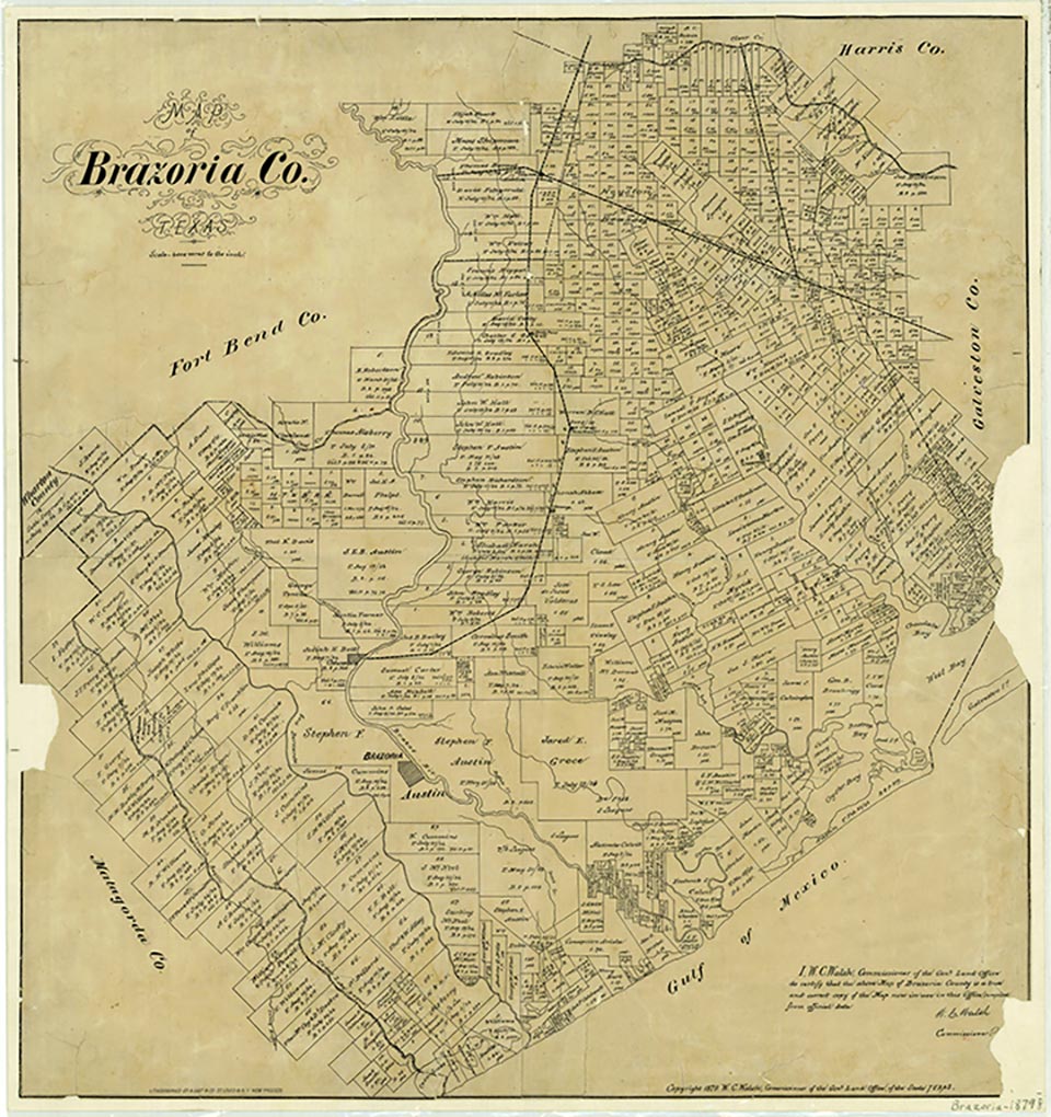
Hastings is a residential community that is now within Pearland on State Highway 35 in northern Brazoria County. It was just east of the Atchison, Topeka and Santa Fe Railroad. The community was the site of a rural school named for a pioneer family before the development of the nearby Hastings oilfield in 1934. In 1949 it was an oilfield community centered around a recycling plant of the Stanolind Oil Company. The local population subsequently declined, and by 1982 only an abandoned railroad station and scattered dwellings remained at the site.
Diana J. Kleiner | © TSHA

Adapted from the official Handbook of Texas, a state encyclopedia developed by Texas State Historical Association (TSHA). It is an authoritative source of trusted historical records.

- ✅ Adoption Status:
- This place is available for adoption! Available for adoption!
- Adopted by:
- Your name goes here
- Dedication Message:
- Your message goes here
Belongs to
Hastings is part of or belongs to the following places:
Currently Exists
No
Place type
Hastings is classified as a Town
Location
Latitude: 29.50884560Longitude: -95.25160190
Has Post Office
No
Is Incorporated
No

