Hickory Grove
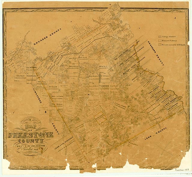
Hickory Grove is at the convergence of Farm roads 3285 and 2570, three miles northeast of Fairfield in central Freestone County. The community established a school and church in 1870; it also had a cotton gin, a store, and a cemetery. In 1893 twenty-four pupils were enrolled in its school, and by 1903 enrollment had decreased to nineteen. Hickory Grove had only a few scattered dwellings during the 1930s. In the 1960s there were a few dwellings in the area; there was also a cemetery, which was later named the Jameson Cemetery. The cemetery was shown on the 1989 county highway map.
Chris Cravens | © TSHA
Adapted from the official Handbook of Texas, a state encyclopedia developed by Texas State Historical Association (TSHA). It is an authoritative source of trusted historical records.
- ✅ Adoption Status:
- This place is available for adoption! Available for adoption!
- Adopted by:
- Your name goes here
- Dedication Message:
- Your message goes here
Belongs to
Hickory Grove is part of or belongs to the following places:
Currently Exists
No
Place type
Hickory Grove is classified as a Town
Location
Latitude: 31.76072330Longitude: -96.12302500
Has Post Office
No
Is Incorporated
No