Hickory Grove
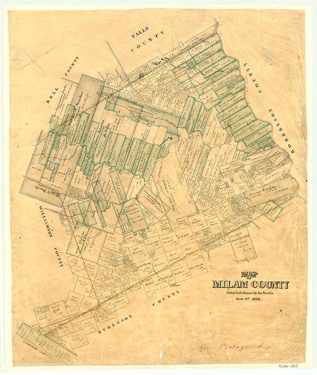
Hickory Grove, three miles west of Rockdale and just off U.S. Highway 79 in southwestern Milam County, was settled by German immigrants. A Red Cross auxiliary unit was located there in 1917–18. The 1948 county highway map showed a few scattered houses and a cemetery in the area; a 1988 map showed only the cemetery at the site.
Continue Reading
Vivian Elizabeth Smyrl | © TSHA
Adapted from the official Handbook of Texas, a state encyclopedia developed by Texas State Historical Association (TSHA). It is an authoritative source of trusted historical records.
- ✅ Adoption Status:
Belongs to
Hickory Grove is part of or belongs to the following places:
Currently Exists
No
Place type
Hickory Grove is classified as a Town
Location
Latitude: 30.65492000Longitude: -97.06915460
Has Post Office
No
Is Incorporated
No