Hindes
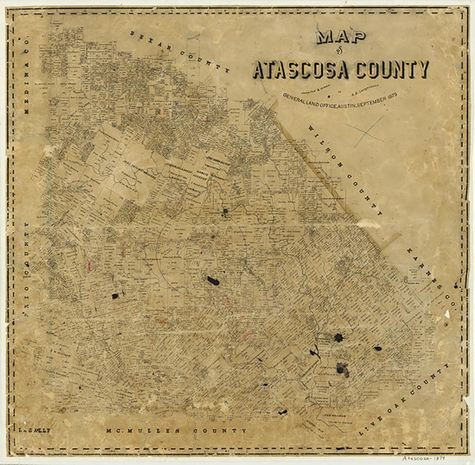
Hindes is just east of State Highway 95 four miles from the Frio county line in southwest Atascosa County. It was named for George F. Hindes, a local rancher who settled there in 1856 and donated land for the San Antonio, Uvalde and Gulf Railroad right-of-way in 1912. He also gave land to establish a town on the rail line. Cotton and corn were the major crops raised in the area in the early 1900s. By 1913 Hindes had a post office, a bank, a general store, a gin, and two churches. A school for children in the surrounding farm community had opened in 1912; it had six rooms. The population of Hindes reached a peak of 100 in 1927 but declined to fifty in the 1930s. In 1934 the school had eighty-eight students and three teachers. The number of businesses varied between one and four. In the 1940s the town had three business, one factory, and scattered dwellings. The post office closed in 1942. By 1974 the population had dropped to fourteen, and no businesses were listed. In 1988 Hindes had a cluster of dwellings and a few widely scattered farm houses. The population was still recorded as fourteen in 1990, where it remained again in 2000.
Linda Peterson | © TSHA
Adapted from the official Handbook of Texas, a state encyclopedia developed by Texas State Historical Association (TSHA). It is an authoritative source of trusted historical records.
- ✅ Adoption Status:
- This place is available for adoption! Available for adoption!
- Adopted by:
- Your name goes here
- Dedication Message:
- Your message goes here
Belongs to
Hindes is part of or belongs to the following places:
Currently Exists
Yes
Place type
Hindes is classified as a Town
Location
Latitude: 28.71692590Longitude: -98.79030350
Has Post Office
No
Is Incorporated
No
Population Count, 2009
14