Hookerville
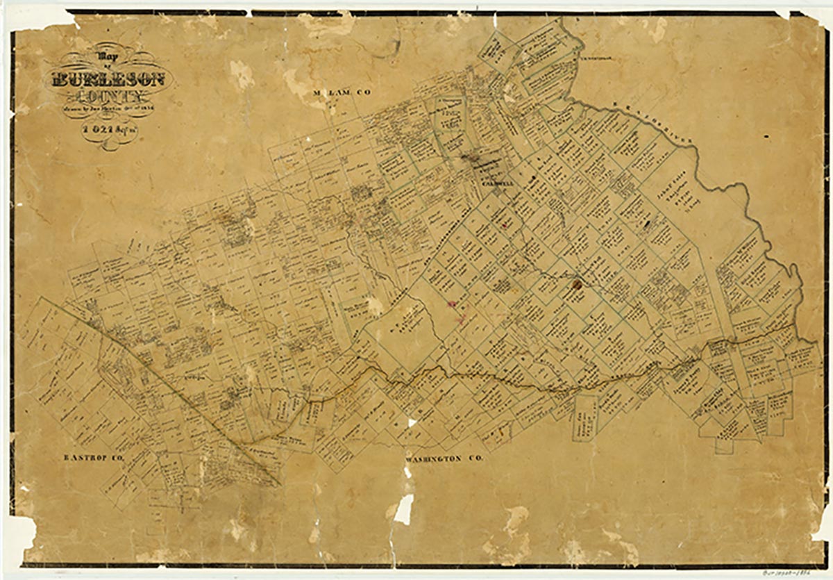
Hookerville was on the banks of Hooker Creek on the edge of the Blackland Prairie six miles west of Caldwell in western Burleson County. Settlement in the county north of the Old San Antonio Road began in the late 1830s. During the 1850s the family of John W. Porter established an extensive plantation on a tributary of Hooker Creek; it became the nucleus of a community called Porter's Chapel. A sawmill operated on Hooker Creek during the early phases of settlement. After the Civil War the Porter's Chapel community became known as Hookerville-named, as was the nearby creek, for an early settler. A post office operated there from 1878 until 1912, after which mail was routed through Chriesman. In 1885 Hookerville reported a population of 130 and a school, a church, a gristmill, and a cotton gin. The town was bypassed by State Highway 21 and the Gulf, Colorado and Santa Fe Railway. In the late 1980s the Porters Chapel and cemetery and the Liberty Church were still in the area.
Charles Christopher Jackson | © TSHA
Adapted from the official Handbook of Texas, a state encyclopedia developed by Texas State Historical Association (TSHA). It is an authoritative source of trusted historical records.
- ✅ Adoption Status:
- This place is available for adoption! Available for adoption!
- Adopted by:
- Your name goes here
- Dedication Message:
- Your message goes here
Belongs to
Hookerville is part of or belongs to the following places:
Currently Exists
No
Place type
Hookerville is classified as a Town
Associated Names
- (Porter's Chapel)
Location
Latitude: 30.49603940Longitude: -96.84609120
Has Post Office
No
Is Incorporated
No