Hooleyan
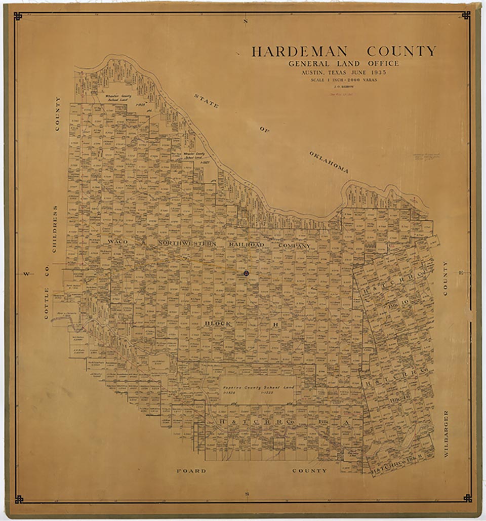
Hooleyan is on Farm Road 680 three miles east of the Childress county line and four miles south of the Red River in an isolated region of extreme northwest Hardeman County. It was founded in the late 1890s and supposedly named for two members of an early family. It was sometimes referred to as Hooley Ann. An early county school in the settlement served the area as a church and community center until its students were combined with those of four nearby school districts in 1927 to form the Williams High district. By 1915 Hooleyan had one store; by 1940 its population had grown to fifty, and it had two stores. The small community was listed on 1980 county maps.
Charles G. Davis | © TSHA
Adapted from the official Handbook of Texas, a state encyclopedia developed by Texas State Historical Association (TSHA). It is an authoritative source of trusted historical records.
- ✅ Adoption Status:
Belongs to
Hooleyan is part of or belongs to the following places:
Currently Exists
No
Place type
Hooleyan is classified as a Town
Associated Names
- [Hooley Anne]
- (Bibles)
- (Riley)
Location
Latitude: 34.52006540Longitude: -99.94760190
Has Post Office
No
Is Incorporated
No